Transport Functions
Rail
Road
Multimodal
Hub Profile
Region
NC
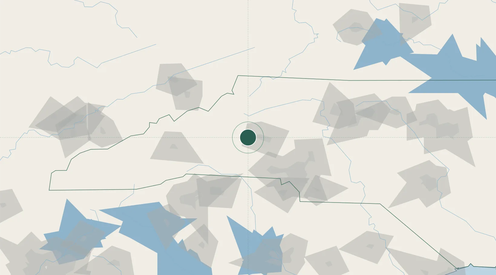
Location
Nearby Logistics Neighbours
Cities
- 1Connelly Springs2 km
- 2Icard5 km
- 3Sawmills10 km
- 4Lawndale37 km
- 5Nebo, McDowell38 km
Ports
- 1Georgetown333 km
- 2Charleston360 km
- 3Wilmington365 km
- 4Beaufort375 km
- 5Wrightsville377 km
Airports
Trade Zones
- 1FTZ No. 057 Mecklenburg County66 km
- 2FTZ No. 038 Spartanburg County115 km
- 3FTZ No. 204 Tri-Cities116 km
- 4FTZ No. 230 Piedmont Triad Area133 km
- 5FTZ No. 238 Dublin168 km
DatabookThe Record of Consolidated Knowledge
United States beyond logistics?