Transport Functions
Rail
Road
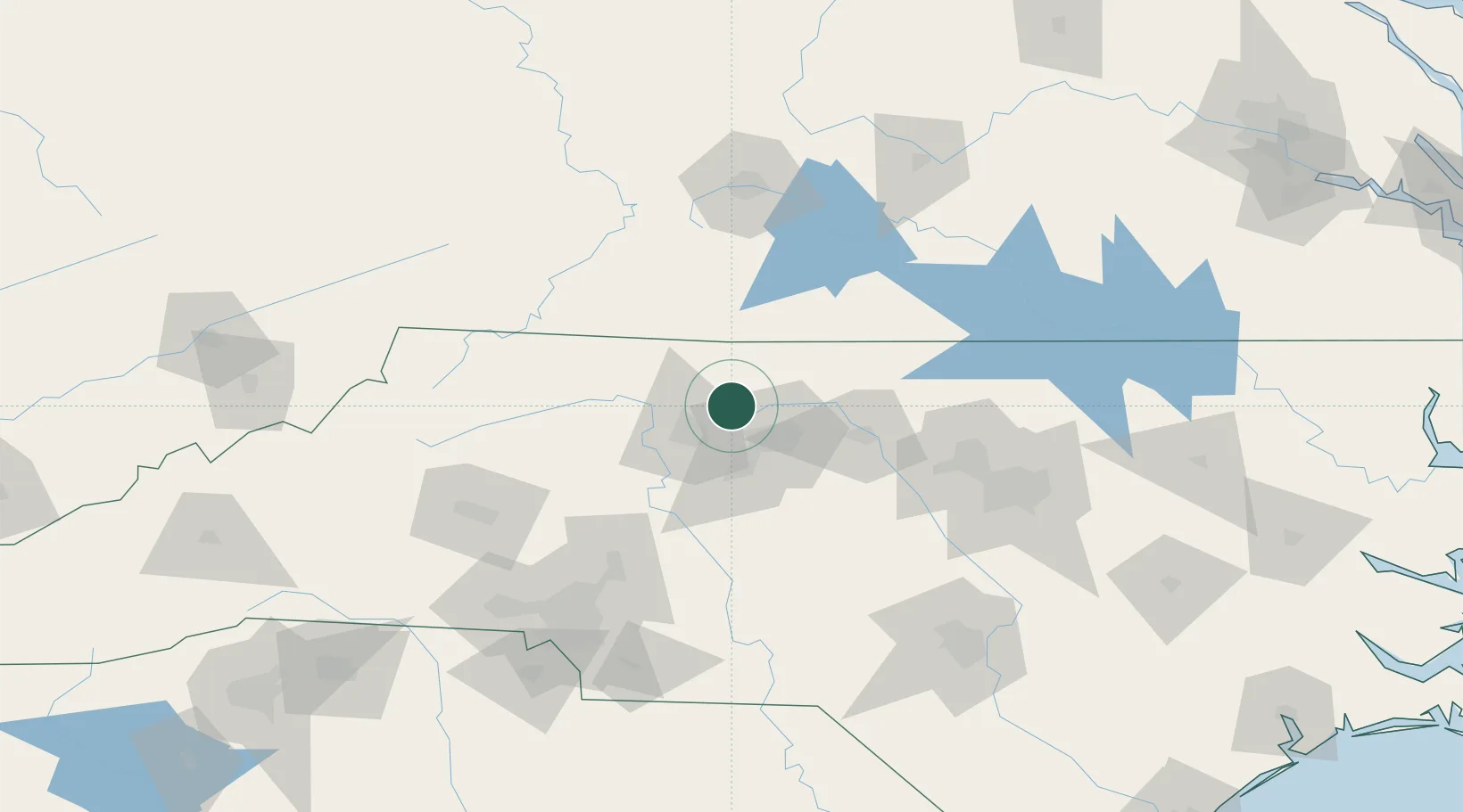
Hub Profile
Place type
Populated place
Region
North Carolina
Time zone
America/New_York
Elevation
265 m
Location
Nearby Logistics Neighbours
Cities
- 1Kernersville13 km
- 2Summerfield15 km
- 3Colfax16 km
- 4Jamestown30 km
- 5Pinnacle34 km
Ports
- 1Richmond277 km
- 2Washington282 km
- 3Wilmington294 km
- 4New Bern300 km
- 5Plymouth301 km
Airports
Trade Zones
- 1FTZ No. 230 Piedmont Triad Area9 km
- 2FTZ No. 093 Raleigh Durham111 km
- 3FTZ No. 238 Dublin112 km
- 4FTZ No. 057 Mecklenburg County142 km
- 5FTZ No. 204 Tri-Cities212 km
DatabookThe Record of Consolidated Knowledge
United States beyond logistics?