UN/LOCODE hub · United States
USUME
Summerfield
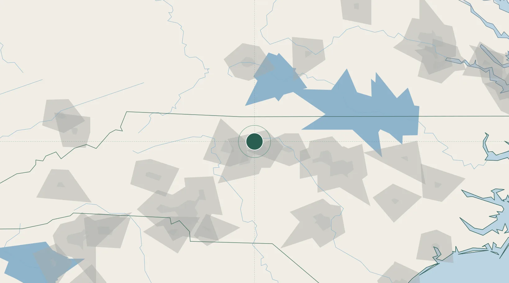
36.2000°, -79.9000°
10,861
Population
3
Transport functions
Transport Functions
Rail
Road
Multimodal
Hub Profile
Place type
Populated place
Region
North Carolina
Population
10,861
Time zone
America/New_York
Elevation
276 m
Location
Nearby Logistics Neighbours
Cities
- 1Colfax14 km
- 2Belews Creek15 km
- 3Kernersville18 km
- 4Jamestown24 km
- 5McLeansville25 km
Ports
- 1Richmond266 km
- 2Washington267 km
- 3Wilmington281 km
- 4New Bern285 km
- 5Plymouth286 km
Airports
Trade Zones
- 1FTZ No. 230 Piedmont Triad Area23 km
- 2FTZ No. 093 Raleigh Durham95 km
- 3FTZ No. 238 Dublin123 km
- 4FTZ No. 057 Mecklenburg County150 km
- 5FTZ No. 214 Lenoir County212 km
DatabookThe Record of Consolidated Knowledge
United States beyond logistics?