UN/LOCODE hub · United States
USRQV
Riverdale
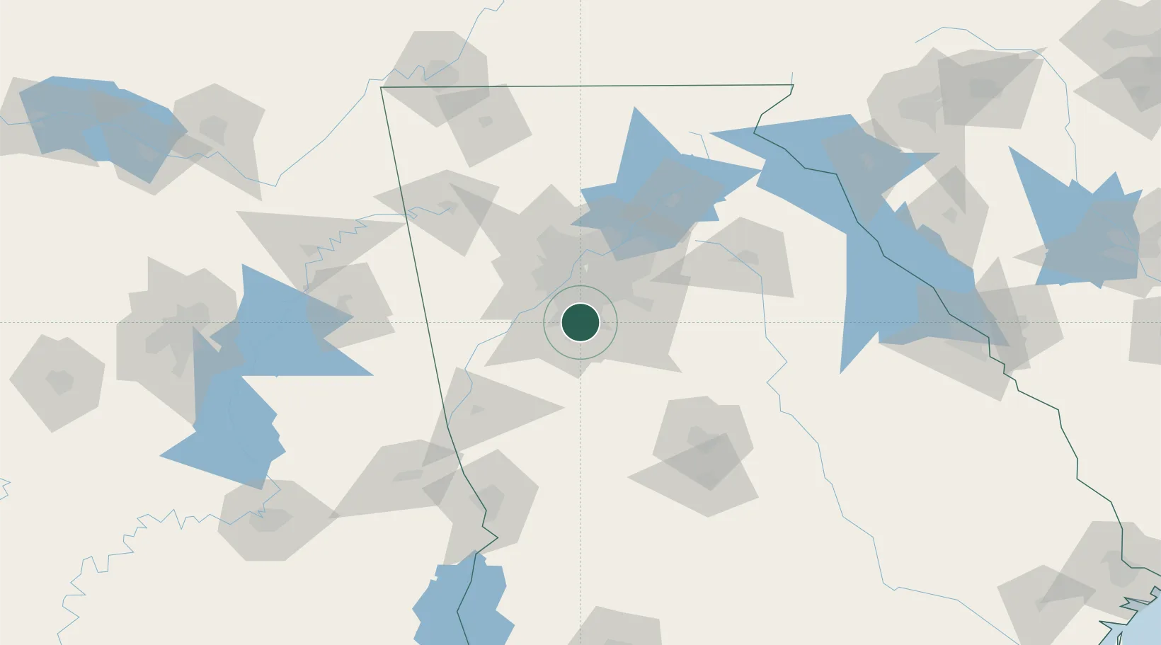
33.5667°, -84.4000°
15,989
Population
2
Transport functions
Transport Functions
Road
Multimodal
Hub Profile
Place type
Populated place
Region
Georgia
Population
15,989
Time zone
America/New_York
Elevation
282 m
Location
Nearby Logistics Neighbours
Ports
- 1Savannah351 km
- 2Beaufort370 km
- 3Darien371 km
- 4Port Royal372 km
- 5Brunswick383 km
Airports
Trade Zones
- 1FTZ No. 026 Atlanta22 km
- 2FTZ No. 134 Chattanooga193 km
- 3FTZ No. 222 Montgomery222 km
- 4FTZ No. 098 Birmingham224 km
- 5FTZ No. 038 Spartanburg County246 km
DatabookThe Record of Consolidated Knowledge
United States beyond logistics?