UN/LOCODE hub · United States
USFBN
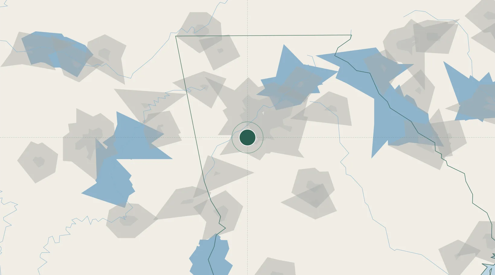
Fairburn
33.5505°, -84.5879°
13,967
Population
2
Transport functions
Transport Functions
Rail
Road
Hub Profile
Place type
Populated place
Region
Georgia
Population
13,967
Time zone
America/New_York
Elevation
313 m
Logistics facilities
6
Location
Nearby Logistics Neighbours
Ports
- 1Savannah366 km
- 2Darien383 km
- 3Beaufort386 km
- 4Port Royal387 km
- 5Panama City393 km
Airports
Trade Zones
- 1FTZ No. 026 Atlanta30 km
- 2FTZ No. 134 Chattanooga187 km
- 3FTZ No. 098 Birmingham206 km
- 4FTZ No. 222 Montgomery207 km
- 5FTZ No. 083 Huntsville235 km
DatabookThe Record of Consolidated Knowledge
United States beyond logistics?