Transport Functions
Port
Multimodal
Hub Profile
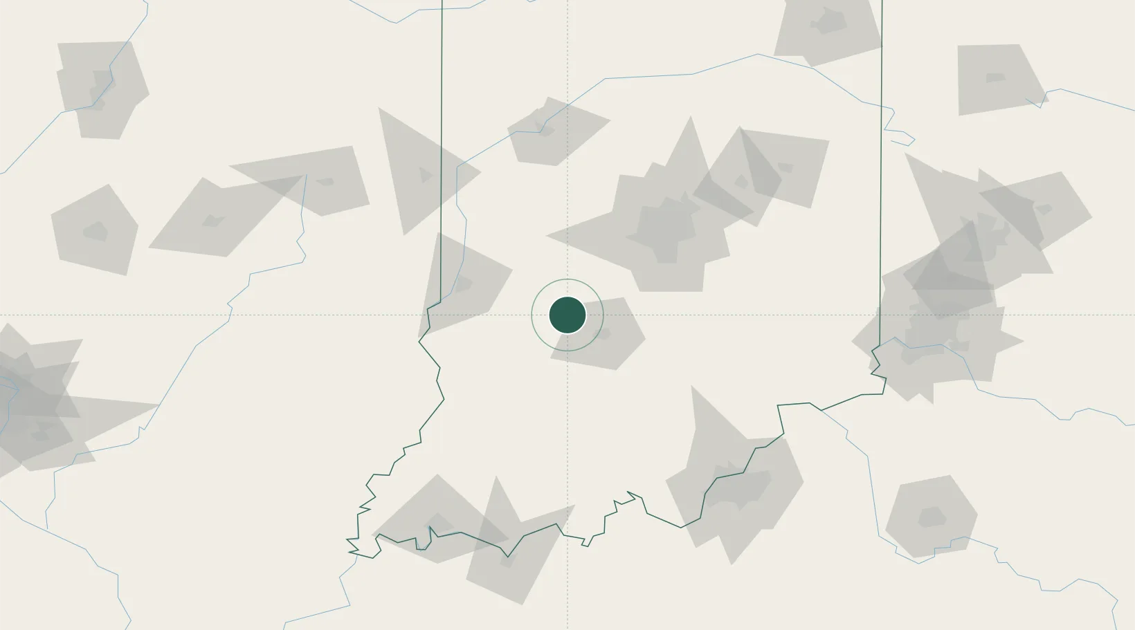
Place type
Provincial seat
Region
Indiana
Population
2,271
Time zone
America/Indiana/Indianapolis
Elevation
171 m
Location
Nearby Logistics Neighbours
Cities
- 1Gosport10 km
- 2Ellettsville13 km
- 3Paragon20 km
- 4Reelsville35 km
- 5Brazil41 km
Ports
- 1Gary264 km
- 2Indiana Harbor271 km
- 3Michigan City273 km
- 4Calumet Harbor280 km
- 5Chicago298 km
Airports
Trade Zones
- 1FTZ No. 072 Indianapolis62 km
- 2FTZ No. 029 Louisville140 km
- 3FTZ No. 177 Evansville162 km
- 4FTZ No. 047 Boone County165 km
- 5FTZ No. 046 CIncinnati194 km
DatabookThe Record of Consolidated Knowledge
United States beyond logistics?