UN/LOCODE hub · United States
USZEN
Ellettsville
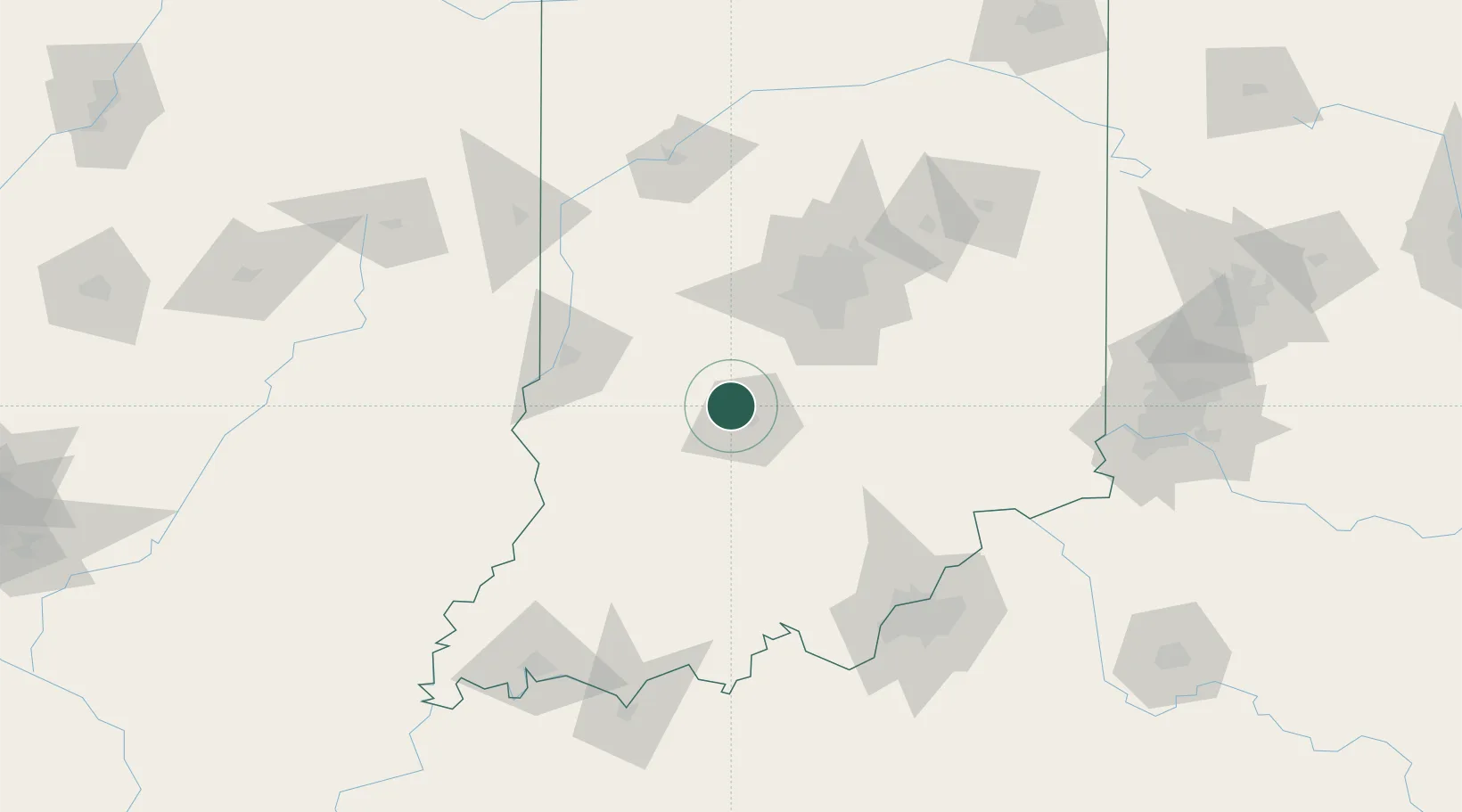
39.2333°, -86.6167°
6,544
Population
3
Transport functions
Transport Functions
Port
Road
Multimodal
Hub Profile
Place type
Populated place
Region
Indiana
Population
6,544
Time zone
America/Indiana/Indianapolis
Elevation
212 m
Location
Nearby Logistics Neighbours
Ports
- 1Gary272 km
- 2Michigan City279 km
- 3Indiana Harbor279 km
- 4Calumet Harbor288 km
- 5Chicago306 km
Airports
Trade Zones
- 1FTZ No. 072 Indianapolis60 km
- 2FTZ No. 029 Louisville129 km
- 3FTZ No. 047 Boone County152 km
- 4FTZ No. 177 Evansville163 km
- 5FTZ No. 046 CIncinnati182 km
DatabookThe Record of Consolidated Knowledge
United States beyond logistics?