Transport Functions
Road
Multimodal
Hub Profile
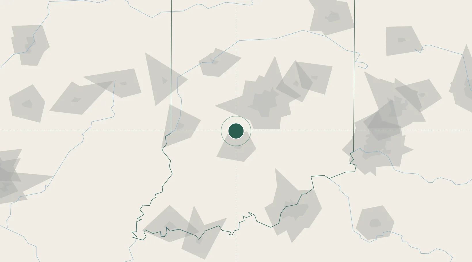
Place type
Populated place
Region
Indiana
Population
660
Time zone
America/Indiana/Indianapolis
Elevation
177 m
Location
Nearby Logistics Neighbours
Cities
- 1Gosport10 km
- 2Ellettsville19 km
- 3Spencer20 km
- 4Clayton32 km
- 5Waterloo, Johnson36 km
Ports
- 1Gary255 km
- 2Michigan City261 km
- 3Indiana Harbor263 km
- 4Calumet Harbor272 km
- 5Chicago290 km
Airports
Trade Zones
- 1FTZ No. 072 Indianapolis42 km
- 2FTZ No. 029 Louisville142 km
- 3FTZ No. 047 Boone County153 km
- 4FTZ No. 046 CIncinnati180 km
- 5FTZ No. 177 Evansville181 km
DatabookThe Record of Consolidated Knowledge
United States beyond logistics?