Transport Functions
Port
Rail
Road
Hub Profile
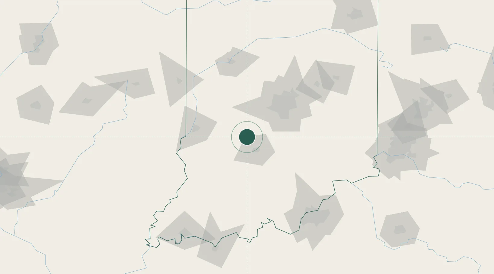
Place type
Populated place
Region
Indiana
Population
803
Time zone
America/Indiana/Indianapolis
Elevation
212 m
Location
Nearby Logistics Neighbours
Cities
- 1Paragon10 km
- 2Spencer10 km
- 3Ellettsville14 km
- 4Reelsville34 km
- 5Clayton39 km
Ports
- 1Gary258 km
- 2Indiana Harbor266 km
- 3Michigan City266 km
- 4Calumet Harbor275 km
- 5Chicago293 km
Airports
Trade Zones
- 1FTZ No. 072 Indianapolis51 km
- 2FTZ No. 029 Louisville142 km
- 3FTZ No. 047 Boone County159 km
- 4FTZ No. 177 Evansville172 km
- 5FTZ No. 046 CIncinnati188 km
DatabookThe Record of Consolidated Knowledge
United States beyond logistics?