Transport Functions
Port
Hub Profile
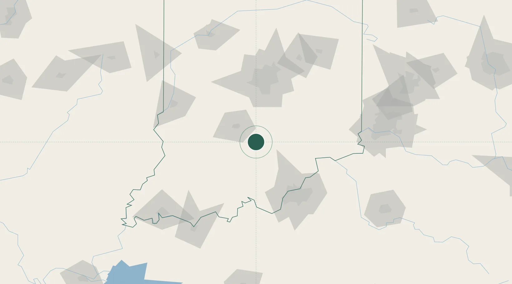
Place type
Populated place
Region
Indiana
Time zone
America/Indiana/Indianapolis
Elevation
265 m
Location
Nearby Logistics Neighbours
Cities
- 1Cortland27 km
- 2Ellettsville44 km
- 3Paoli48 km
- 4Trafalgar51 km
- 5Shoals55 km
Ports
- 1Gary310 km
- 2Michigan City314 km
- 3Indiana Harbor318 km
- 4Calumet Harbor327 km
- 5Chicago345 km
Airports
Trade Zones
- 1FTZ No. 029 Louisville86 km
- 2FTZ No. 072 Indianapolis86 km
- 3FTZ No. 047 Boone County119 km
- 4FTZ No. 046 CIncinnati152 km
- 5FTZ No. 177 Evansville158 km
DatabookThe Record of Consolidated Knowledge
United States beyond logistics?