UN/LOCODE hub · United States
USTRK
Tamarac
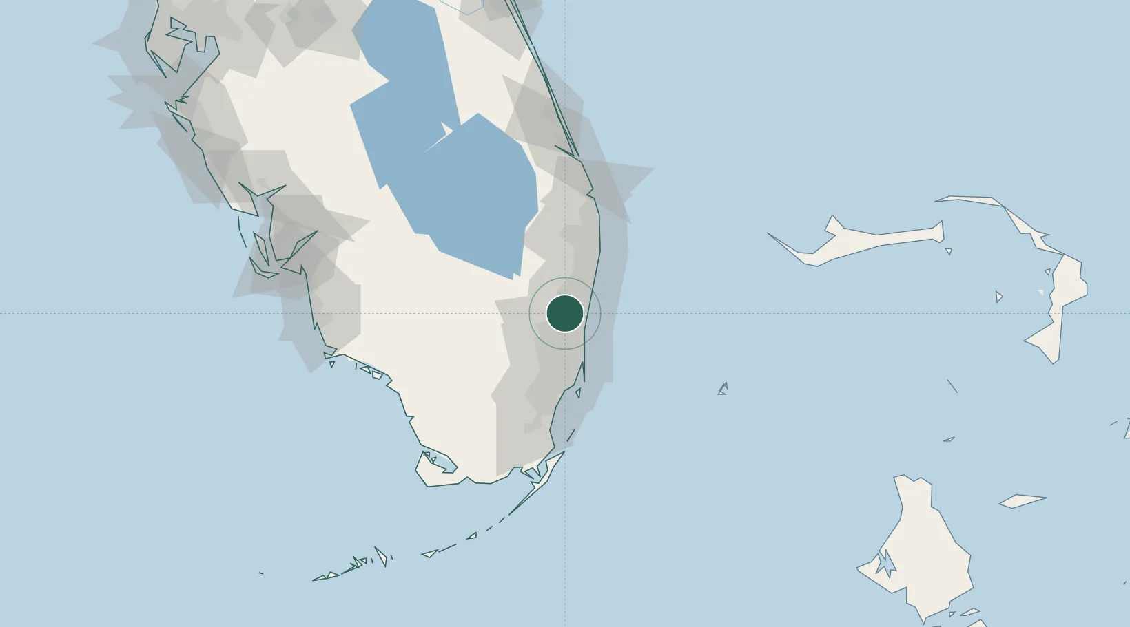
26.2000°, -80.2500°
64,681
Population
4
Transport functions
Transport Functions
Port
Rail
Road
Multimodal
Hub Profile
Place type
Populated place
Region
Florida
Population
64,681
Time zone
America/New_York
Elevation
3 m
Location
Nearby Logistics Neighbours
Cities
- 1Plantation7 km
- 2Lauderdale Lakes8 km
- 3Oakland Park, Broward12 km
- 4Fort Lauderdale16 km
- 5Lighthouse Point18 km
Ports
- 1Port Everglades17 km
- 2Miami47 km
- 3Palm Beach66 km
- 4Fort Pierce141 km
- 5Freeport150 km
Airports
Trade Zones
DatabookThe Record of Consolidated Knowledge
United States beyond logistics?