UN/LOCODE hub · United States
USJBO
Jonesboro
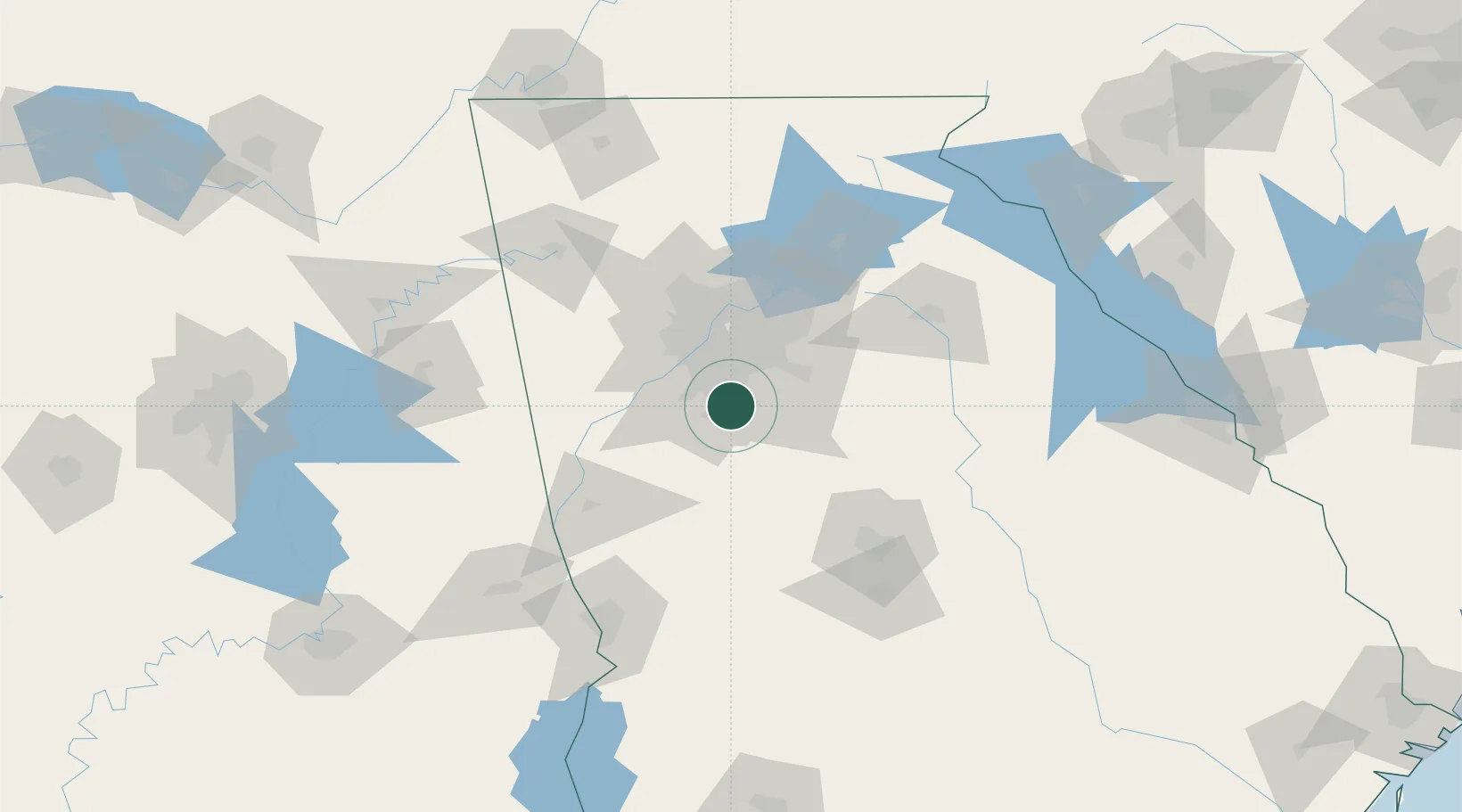
33.5167°, -84.3500°
4,746
Population
2
Transport functions
Transport Functions
Rail
Road
Hub Profile
Place type
Provincial seat
Region
Georgia
Population
4,746
Time zone
America/New_York
Elevation
280 m
Location
Nearby Logistics Neighbours
Cities
- 1Riverdale7 km
- 2Lake City9 km
- 3Ellenwood12 km
- 4Sunny Side21 km
- 5Tyrone22 km
Ports
- 1Savannah344 km
- 2Darien363 km
- 3Beaufort364 km
- 4Port Royal365 km
- 5Brunswick375 km
Airports
Trade Zones
- 1FTZ No. 026 Atlanta28 km
- 2FTZ No. 134 Chattanooga200 km
- 3FTZ No. 222 Montgomery223 km
- 4FTZ No. 098 Birmingham228 km
- 5FTZ No. 038 Spartanburg County246 km
DatabookThe Record of Consolidated Knowledge
United States beyond logistics?