Small airport · Indonesia

Mipol AirstripID-0202

-4.6058°, 140.6348°
4,800 ft
Elevation

Runway & Layout

Mipol Airstrip runway & taxiway layout
Runway & taxiway layout — OpenStreetMap (ODbL) / OurAirports

Airport Specifications

Airport class
Small airport
OurAirports
Scheduled service
Yes
OurAirports
Served city
Pegunungan Bintang Regency
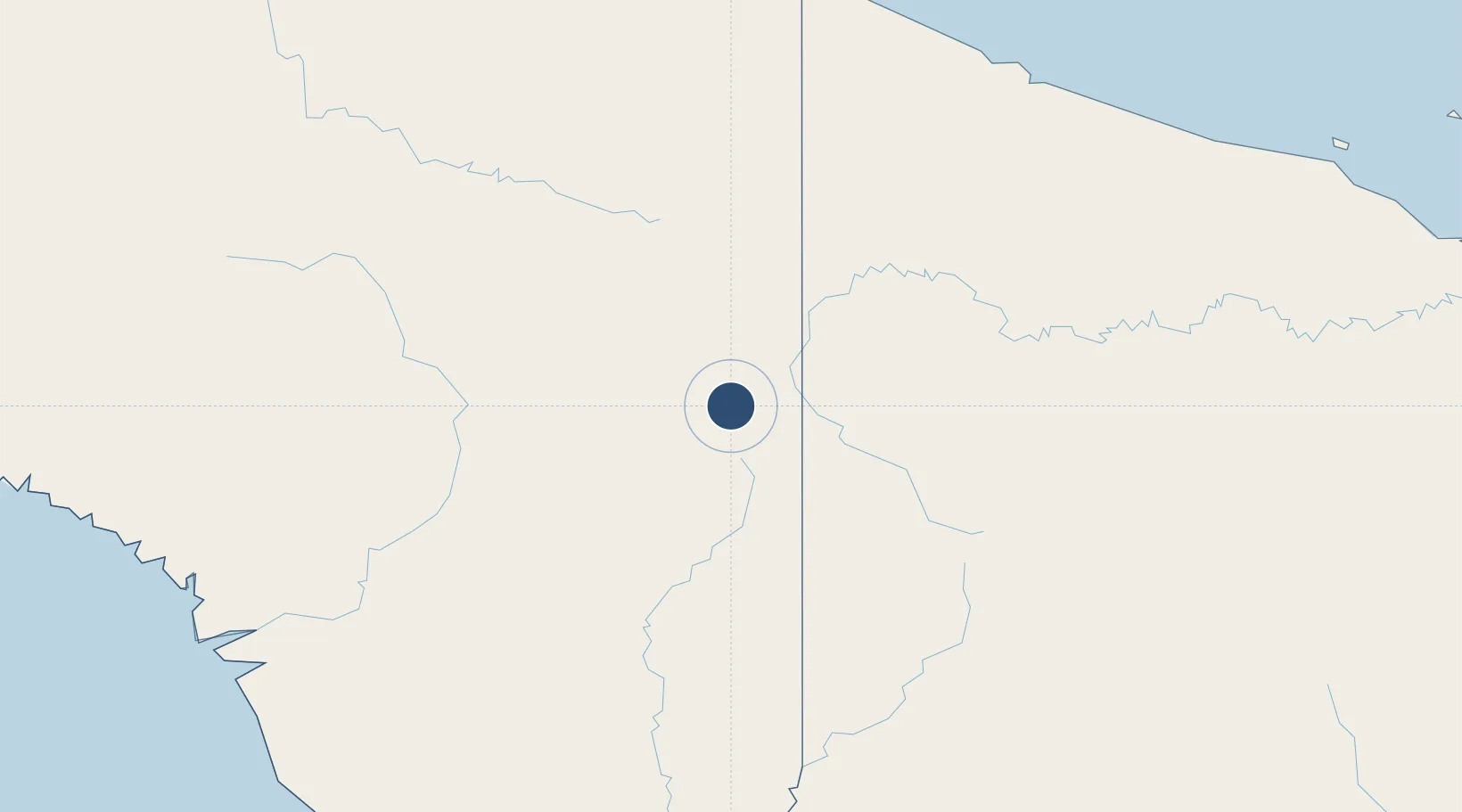
OurAirports

Location

Location of ID-0202
Natural Earth 10m (public domain) · Papua · ID-0202 · -4.61, 140.63GoogleOSMYandex

Nearby Logistics Neighbours

Airports
  1. 1Kotyobakon Airstrip4 km
  2. 2Yapil Airstrip11 km
  3. 3Binban Airstrip11 km
  4. 4Kaklup Airstrip12 km
  5. 5Hangmata Airstrip13 km
Nearest neighbours — logibook spatial index (haversine) over the source coordinates
Cities
  1. 1Asike229 km
  2. 2Jayapura, Irian Jaya229 km
  3. 3Demta259 km
  4. 4Yentchan295 km
  5. 5Kassue307 km
Nearest neighbours — logibook spatial index (haversine) over the source coordinates
Ports
  1. 1Vanimo221 km
  2. 2Wewak Harbor352 km
  3. 3Amamapare407 km
  4. 4Merauke432 km
  5. 5Daru571 km
Nearest neighbours — logibook spatial index (haversine) over the source coordinates
Trade Zones
  1. 1Sandaun Special Economic Zone77 km
  2. 2Sepik Special Economic Zone126 km
  3. 3Vanimo Special Economic Zone225 km
  4. 4Western Province Special Economic Zone264 km
  5. 5Manus Special Economic Zone435 km
Nearest neighbours — logibook spatial index (haversine) over the source coordinates
DatabookThe Record of Consolidated Knowledge
Indonesia beyond logistics?
Browse databook

All Sources

AirportsOurAirports
Public domain
Portsthe NGA World Port Index
Public domain (US gov)
LocationsUN/LOCODE
UN/LOCODE — free
Trade Zonesthe World Bank SEZ database
CC BY 4.0
Trade ZonesOpen Zone Map
CC BY
InfrastructureOpenStreetMap
ODbL 1.0
← Indonesia airports