Small airport · Indonesia

Kotyobakon AirstripID-0201

-4.6384°, 140.6549°
5,100 ft
Elevation

Runway & Layout

Kotyobakon Airstrip runway & taxiway layout
Runway & taxiway layout — OpenStreetMap (ODbL) / OurAirports

Airport Specifications

Airport class
Small airport
OurAirports
Scheduled service
Yes
OurAirports
Served city
Pegunungan Bintang Regency
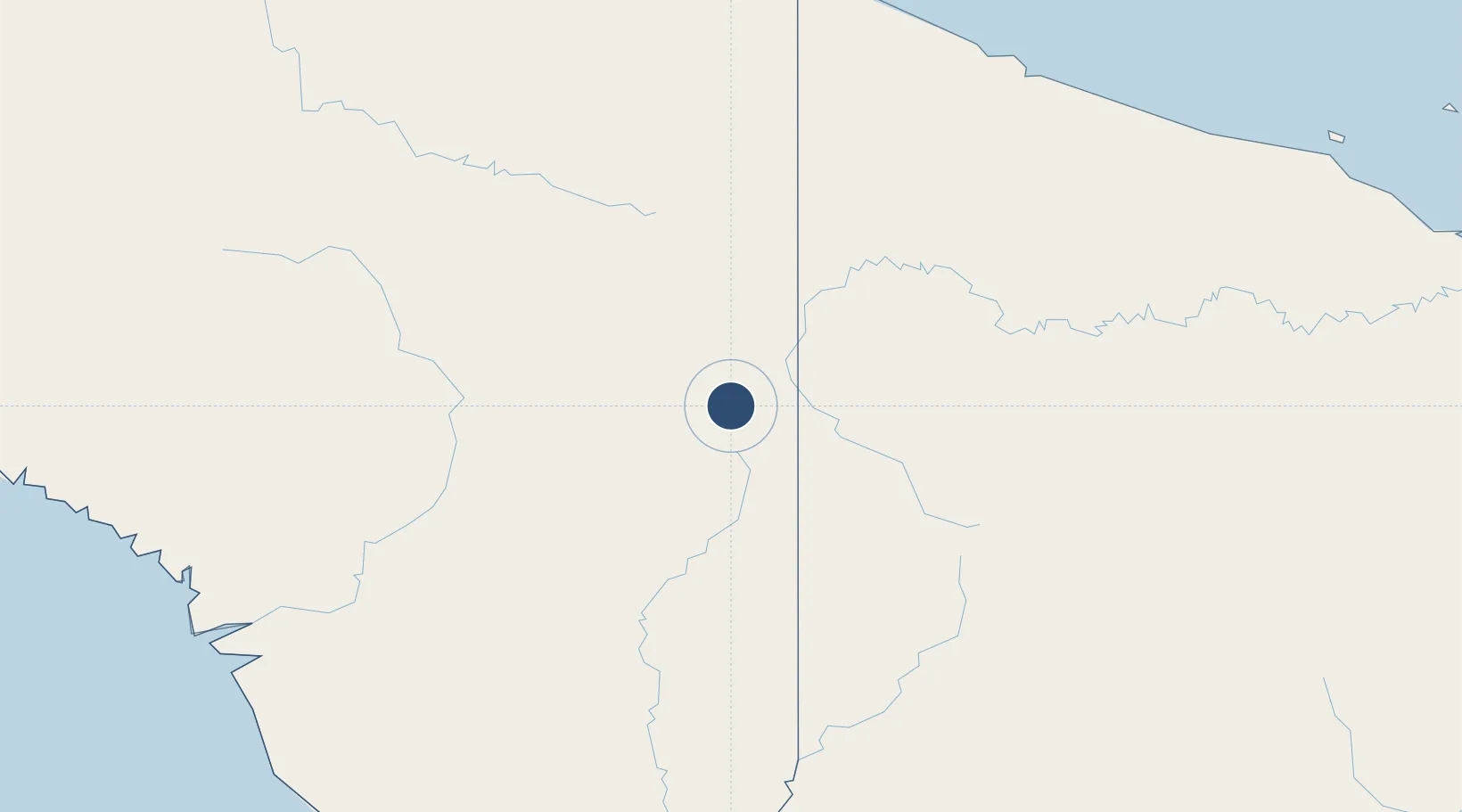
OurAirports

Location

Location of ID-0201
Natural Earth 10m (public domain) · Papua · ID-0201 · -4.64, 140.65GoogleOSMYandex

Nearby Logistics Neighbours

Airports
  1. 1Mipol Airstrip4 km
  2. 2Kiwi Airstrip10 km
  3. 3Kiwirok Airstrip13 km
  4. 4Kaklup Airstrip14 km
  5. 5Okpahik Airstrip14 km
Nearest neighbours — logibook spatial index (haversine) over the source coordinates
Cities
  1. 1Asike225 km
  2. 2Jayapura, Irian Jaya233 km
  3. 3Demta263 km
  4. 4Yentchan293 km
  5. 5Kassue305 km
Nearest neighbours — logibook spatial index (haversine) over the source coordinates
Ports
  1. 1Vanimo224 km
  2. 2Wewak Harbor351 km
  3. 3Amamapare409 km
  4. 4Merauke429 km
  5. 5Daru567 km
Nearest neighbours — logibook spatial index (haversine) over the source coordinates
Trade Zones
  1. 1Sandaun Special Economic Zone79 km
  2. 2Sepik Special Economic Zone126 km
  3. 3Vanimo Special Economic Zone227 km
  4. 4Western Province Special Economic Zone260 km
  5. 5Manus Special Economic Zone436 km
Nearest neighbours — logibook spatial index (haversine) over the source coordinates
DatabookThe Record of Consolidated Knowledge
Indonesia beyond logistics?
Browse databook

All Sources

AirportsOurAirports
Public domain
Portsthe NGA World Port Index
Public domain (US gov)
LocationsUN/LOCODE
UN/LOCODE — free
Trade Zonesthe World Bank SEZ database
CC BY 4.0
Trade ZonesOpen Zone Map
CC BY
InfrastructureOpenStreetMap
ODbL 1.0
← Indonesia airports