Large airport · South Sudan

Juba International AirportHJJJ
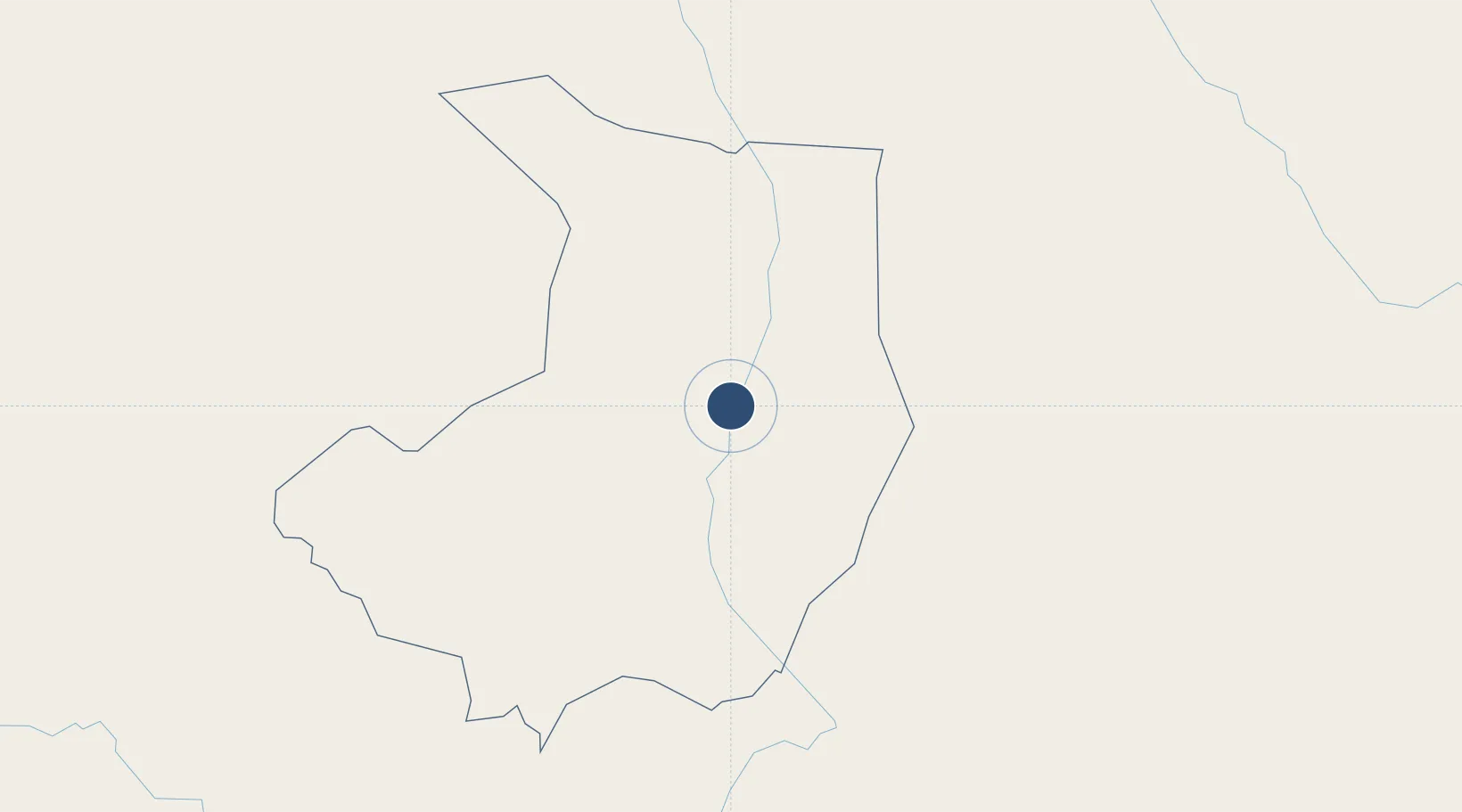
4.8720°, 31.6011°
10,171 ft
Longest runway
1
Runways
1,513 ft
Elevation

Runway & Layout

Juba International Airport runway & taxiway layout
Runway & taxiway layout — OpenStreetMap (ODbL) / OurAirports

Radio Frequencies

TWR
118.4 MHz
APP/TWR
HF
11.3 MHz
OurAirports

Navaids

JUB VOR-DME Juba 113.30 MHz
OurAirports

Runways · 1

RunwayDimensions SurfaceTrue headingLit
13/31 10,171 × 148ft Asphalt 130°
OurAirports

Airport Specifications

IATA code
JUB
OurAirports
ICAO code
HJJJ
OurAirports
Airport class
Large airport
OurAirports
Scheduled service
Yes
OurAirports
Runway surface
Asphalt
OurAirports
Served city
Juba
OurAirports

Location

Location of HJJJ
Natural Earth 10m (public domain) · Central Equatoria · HJJJ · 4.87, 31.60GoogleOSMYandex

Nearby Logistics Neighbours

Airports
  1. 1Arua Airport217 km
  2. 2Gulu Airport242 km
  3. 3Lokichogio Airport313 km
  4. 4Bunia Airport398 km
  5. 5Soroti Airport416 km
Nearest neighbours — logibook spatial index (haversine) over the source coordinates
Cities
  1. 1Rwamagana350 km
  2. 2Galiraya421 km
  3. 3Moroto432 km
  4. 4Mukono519 km
  5. 5Malaba558 km
Nearest neighbours — logibook spatial index (haversine) over the source coordinates
Ports
  1. 1Lamu1303 km
  2. 2Malindi1307 km
  3. 3Kilifi1318 km
  4. 4Mombasa1338 km
  5. 5Kismaayo1348 km
Nearest neighbours — logibook spatial index (haversine) over the source coordinates
Trade Zones
  1. 1Juba Specialised Economic Zone4 km
  2. 2Arua Special Economic Zone225 km
  3. 3Gulu Industrial Park245 km
  4. 4Buliisa Industrial Park308 km
  5. 5Lira Industrial Park326 km
Nearest neighbours — logibook spatial index (haversine) over the source coordinates
DatabookThe Record of Consolidated Knowledge
South Sudan beyond logistics?
Browse databook

All Sources

AirportsOurAirports
Public domain
Portsthe NGA World Port Index
Public domain (US gov)
LocationsUN/LOCODE
UN/LOCODE — free
Trade Zonesthe World Bank SEZ database
CC BY 4.0
Trade ZonesOpen Zone Map
CC BY
InfrastructureOpenStreetMap
ODbL 1.0
← South Sudan airports