Transport Functions
Multimodal
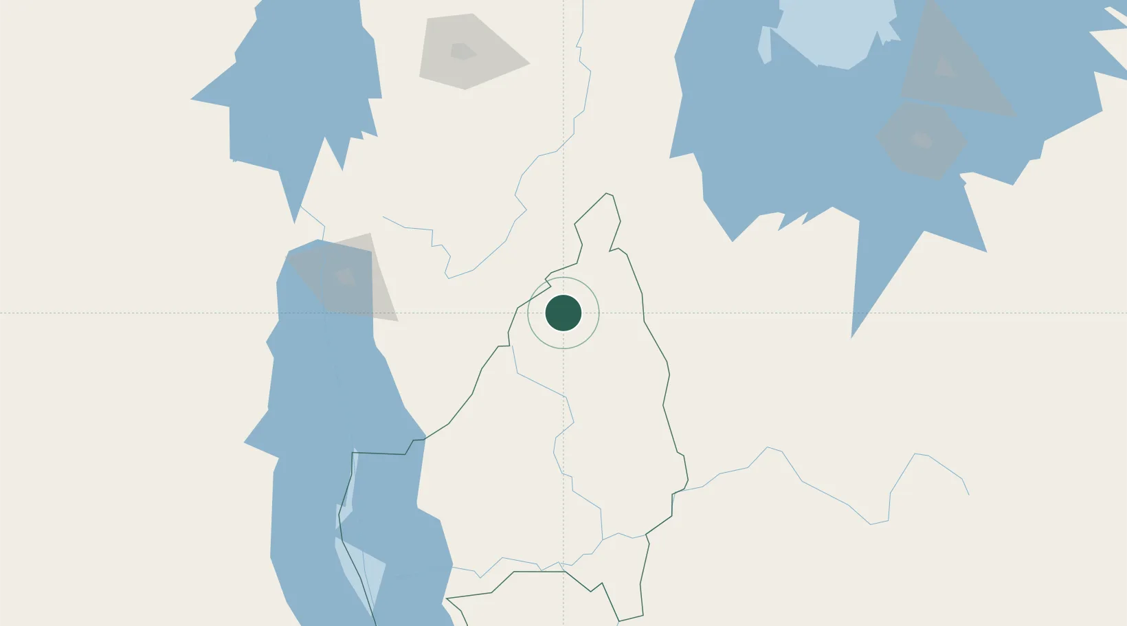
Hub Profile
Place type
Populated place
Region
Kigoma
Population
28,666
Time zone
Africa/Dar_es_Salaam
Elevation
1,505 m
Location
Nearby Logistics Neighbours
Ports
- 1Tanga946 km
- 2Zanzibar981 km
- 3Mombasa994 km
- 4Kilifi1015 km
- 5Dar Es Salaam1016 km
Airports
- 1Gitega Airport91 km
- 2Kirundo Airport135 km
- 3Bujumbura Melchior Ndadaye International Airport158 km
- 4Kigoma Airport186 km
- 5Kigali International Airport191 km
Trade Zones
- 1Huye Industrial Park159 km
- 2Warubonda Special Economic Zone165 km
- 3Bugesera Industrial Park174 km
- 4Kigoma Special Economic Zone187 km
- 5Rwamagana Industrial Park189 km
DatabookThe Record of Consolidated Knowledge
Tanzania beyond logistics?