Export Processing Zone · Rwanda

Nyagatare Industrial Park Active
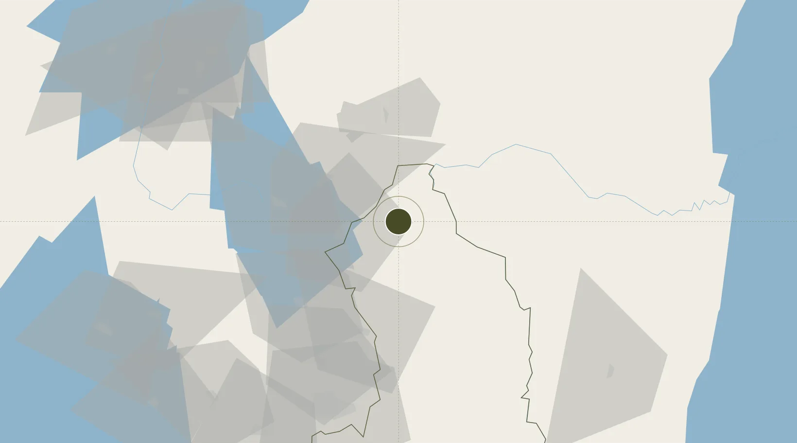
-1.2736°, 30.3401°
50 ha
Zone area
1,062.3 km
Nearest port
69.0 km
Nearest airport

Gateway access

Nearest neighbours — logibook spatial index (haversine) over the source coordinates

Zone profile

Zone type
Export Processing Zone
Open Zone Map
Region
Eastern
Open Zone Map
Status
Active
Open Zone Map
Management
Public-Private Partnership
Open Zone Map
Operator
Nyagatare District administration
Open Zone Map
Legal framework
Law No. 05/2011 of Regulating Special Economic Zones in Rwanda
Open Zone Map

Location

Location of ozm-4034
Natural Earth 10m (public domain) · Eastern · ozm-4034 · -1.27, 30.34GoogleOSMYandex

Nearby Logistics Neighbours

Ports
  1. 1Tanga1062 km
  2. 2Mombasa1081 km
  3. 3Kilifi1090 km
  4. 4Malindi1109 km
  5. 5Zanzibar1122 km
Nearest neighbours — logibook spatial index (haversine) over the source coordinates
Airports
  1. 1Kisoro Airport69 km
  2. 2Kigali International Airport80 km
  3. 3Savannah Airstrip94 km
  4. 4Gisenyi Airport128 km
  5. 5Goma International Airport130 km
Nearest neighbours — logibook spatial index (haversine) over the source coordinates
Cities
  1. 1Nyagatare3 km
  2. 2Mutara59 km
  3. 3Cibitoke253 km
  4. 4Kibondo260 km
  5. 5Mwanza316 km
Nearest neighbours — logibook spatial index (haversine) over the source coordinates
Trade Zones
  1. 1Kabaale Industrial Park38 km
  2. 2Kabale Industrial Park40 km
  3. 3Rwamagana Industrial Park76 km
  4. 4Kigali Special Economic Zone78 km
  5. 5Mbarara Industrial Park79 km
Nearest neighbours — logibook spatial index (haversine) over the source coordinates
DatabookThe Record of Consolidated Knowledge
Rwanda beyond logistics?
Browse databook

All Sources

Trade ZonesOpen Zone Map
CC BY
Portsthe NGA World Port Index
Public domain (US gov)
AirportsOurAirports
Public domain
LocationsUN/LOCODE
UN/LOCODE — free
← Rwanda trade zones