Large airport · Tanzania

Mwanza International AirportHTMW
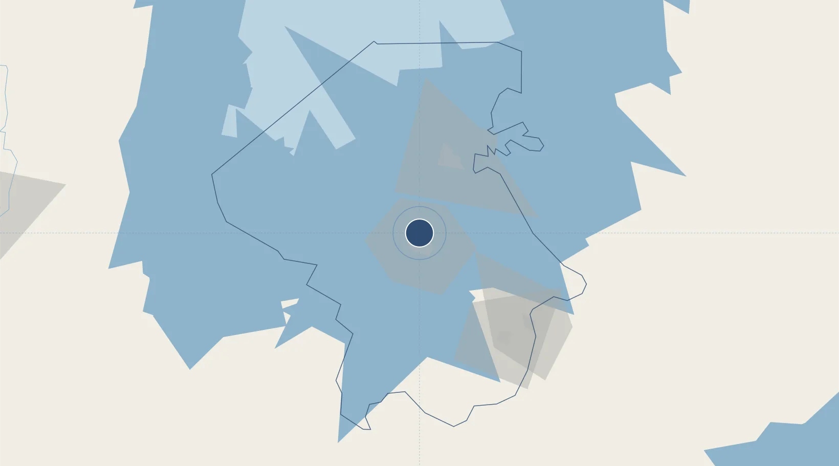
-2.4466°, 32.9360°
10,212 ft
Longest runway
1
Runways
3,763 ft
Elevation

Runway & Layout

Mwanza International Airport runway & taxiway layout
Runway & taxiway layout — OpenStreetMap (ODbL) / OurAirports

Radio Frequencies

TWR
123.1 MHz
APP
123.1 MHz
OurAirports

Navaids

MZ VOR Mwanza 115.70 MHz
MZ NDB Mwanza 403 kHz
OurAirports

Runways · 1

RunwayDimensions SurfaceTrue headingLit
12/30 10,212 × 148ft Asphalt 116°
OurAirports

Airport Specifications

IATA code
MWZ
OurAirports
ICAO code
HTMW
OurAirports
Airport class
Large airport
OurAirports
Scheduled service
Yes
OurAirports
Runway surface
Asphalt
OurAirports
Served city
Mwanza
OurAirports

Location

Location of HTMW
Natural Earth 10m (public domain) · Mwanza · HTMW · -2.45, 32.94GoogleOSMYandex

Nearby Logistics Neighbours

Airports
  1. 1Musoma Airport142 km
  2. 2Shinyanga Airport144 km
  3. 3Bukoba Airport175 km
  4. 4Seronera Airport210 km
  5. 5Mara Serena Lodge Airstrip258 km
Nearest neighbours — logibook spatial index (haversine) over the source coordinates
Cities
  1. 1Mwanza9 km
  2. 2Kibondo277 km
  3. 3Mukono312 km
  4. 4Siaya317 km
  5. 5Nyagatare319 km
Nearest neighbours — logibook spatial index (haversine) over the source coordinates
Ports
  1. 1Tanga746 km
  2. 2Mombasa769 km
  3. 3Kilifi781 km
  4. 4Malindi804 km
  5. 5Zanzibar807 km
Nearest neighbours — logibook spatial index (haversine) over the source coordinates
Trade Zones
  1. 1Usagara Export Processing Zone21 km
  2. 2Kilengula Export Processing Zone22 km
  3. 3Bunda Export Processing Zone109 km
  4. 4Tairo Export Processing Zone110 km
  5. 5Lake Victoria Free Trade Zone (Sseesamirembe City)242 km
Nearest neighbours — logibook spatial index (haversine) over the source coordinates
DatabookThe Record of Consolidated Knowledge
Tanzania beyond logistics?
Browse databook

All Sources

AirportsOurAirports
Public domain
Portsthe NGA World Port Index
Public domain (US gov)
LocationsUN/LOCODE
UN/LOCODE — free
Trade Zonesthe World Bank SEZ database
CC BY 4.0
Trade ZonesOpen Zone Map
CC BY
InfrastructureOpenStreetMap
ODbL 1.0
← Tanzania airports