Medium airport · Libya
Matan al-Sarra Air BaseHL56
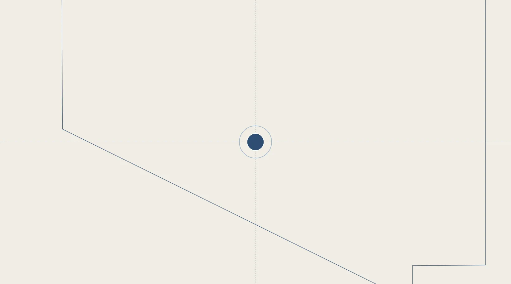
21.6877°, 21.8309°
11,013 ft
Longest runway
2
Runways
1,769 ft
Elevation
Runway & Layout

Runways · 2
| Runway | Dimensions | Surface | True heading | Lit |
|---|---|---|---|---|
| 01L/19R | 11,013 × 98ft | Asphalt | 009° | ✓ |
| 01R/19L | 7,491 × 148ft | Asphalt | 009° | — |
Airport Specifications
ICAO code
HL56
Airport class
Medium airport
Scheduled service
No
Runway surface
Asphalt
Location
Nearby Logistics Neighbours
Airports
- 1Kufra Airport316 km
- 2Ouadi Doum Air Base391 km
- 3Faya-Largeau Airport507 km
- 4Abeche Airport878 km
- 5Sabera Geneina Airport916 km
Cities
- 1Soba703 km
- 2Morningside798 km
- 3Robertsham808 km
- 4Seshego811 km
- 5As Sidr1053 km
Ports
- 1Al Burayqah996 km
- 2Ez Zueitina1034 km
- 3Ras Lanuf1034 km
- 4As Sidr1053 km
- 5Banghazi1173 km
Trade Zones
- 1Farafra City Investment Zone863 km
- 2Toshka New City1001 km
- 3Technological Zone of Silicon Waha Company1127 km
- 4Minya Free Zone1145 km
- 5El-Kawthar District Industrial Zone1150 km
DatabookThe Record of Consolidated Knowledge
Libya beyond logistics?