Medium airport · Ethiopia
Baco AirportHAJK
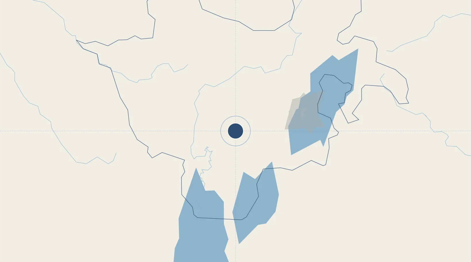
5.7497°, 36.5602°
8,612 ft
Longest runway
1
Runways
4,475 ft
Elevation
Runway & Layout

Runways · 1
| Runway | Dimensions | Surface | True heading | Lit |
|---|---|---|---|---|
| 12/30 | 8,612 × 148ft | Asphalt | — | ✓ |
Airport Specifications
IATA code
BCO
ICAO code
HABC
Airport class
Medium airport
Scheduled service
Yes
Runway surface
Asphalt
Served city
Jinka
Location
Nearby Logistics Neighbours
Airports
- 1Arba Minch Airport118 km
- 2Mizan Teferi Airport174 km
- 3Tippi Airport205 km
- 4Jimma Airport215 km
- 5Hawassa International Airport253 km
Cities
- 1Moroto420 km
- 2Mojo Dry Port423 km
- 3Mojo424 km
- 4Kembolcha547 km
- 5Bungoma617 km
Trade Zones
DatabookThe Record of Consolidated Knowledge
Ethiopia beyond logistics?