Runway & Layout

Airport Specifications
IATA code
TIE
ICAO code
HATP
Airport class
Small airport
Scheduled service
Yes
Served city
Tippi
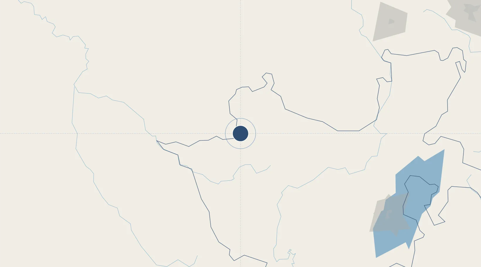
Location
Nearby Logistics Neighbours
Airports
- 1Mizan Teferi Airport31 km
- 2Gambela Airport139 km
- 3Dembidollo Airport162 km
- 4Jimma Airport163 km
- 5Baco Airport205 km
Cities
- 1Mojo436 km
- 2Mojo Dry Port437 km
- 3Moroto531 km
- 4Kembolcha637 km
- 5Galiraya715 km
Ports
- 1Doraleh974 km
- 2Djibouti978 km
- 3Assab1029 km
- 4Mitsiwa Harbor1034 km
- 5Al Mukha1094 km
Trade Zones
DatabookThe Record of Consolidated Knowledge
Ethiopia beyond logistics?