Runway & Layout

Airport Specifications
IATA code
DSE
ICAO code
HADC
Airport class
Small airport
Scheduled service
Yes
Served city
Dessie
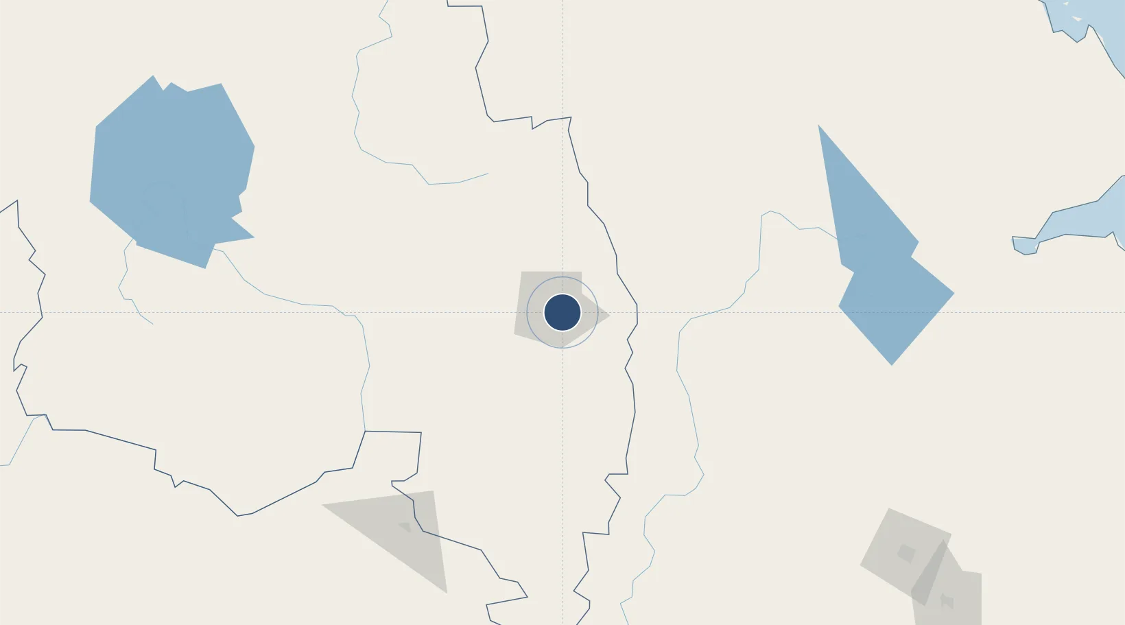
Location
Nearby Logistics Neighbours
Airports
- 1Semera Airport157 km
- 2Addis Ababa Bole International Airport258 km
- 3Mekele Alula Aba Nega Airport263 km
- 4Bahir Dar Airport268 km
- 5Harar Meda Airport278 km
Cities
- 1Dubti163 km
- 2Mojo287 km
- 3Mojo Dry Port290 km
- 4Djibouti372 km
- 5Camp Lemonier375 km
Ports
- 1Doraleh371 km
- 2Djibouti375 km
- 3Assab390 km
- 4Al Mukha455 km
- 5Mitsiwa Harbor502 km
Trade Zones
DatabookThe Record of Consolidated Knowledge
Ethiopia beyond logistics?