Runway & Layout

Airport Specifications
IATA code
OZG
ICAO code
GMAZ
Airport class
Large airport
Scheduled service
Yes
Served city
Zagora
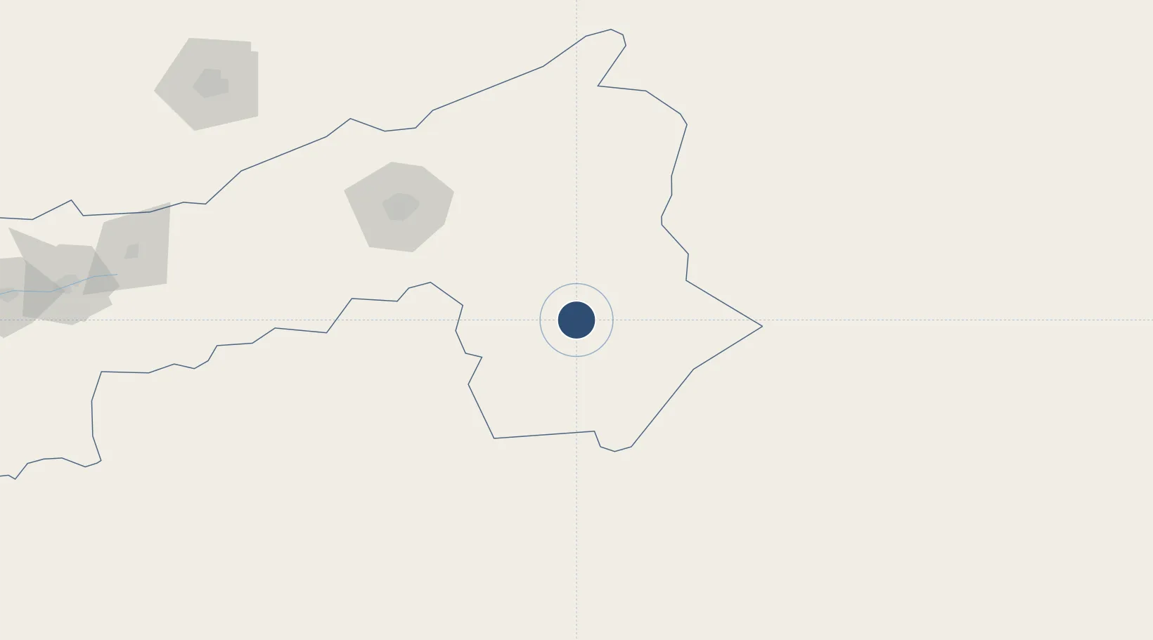
Location
Nearby Logistics Neighbours
Airports
- 1Ouarzazate International Airport125 km
- 2Moulay Ali Cherif Airport233 km
- 3Beni Mellal Airport241 km
- 4Marrakesh Menara Airport255 km
- 5Al Massira Airport341 km
Cities
- 1Ourika83 km
- 2Marrakech254 km
- 3Taroudant289 km
- 4Imintanoute303 km
- 5Aït Melloul348 km
Ports
- 1Agadir363 km
- 2Safi394 km
- 3Essaouira399 km
- 4Casablanca406 km
- 5Mohammedia410 km
Trade Zones
- 1Sidi Bouathman Industrial Zone271 km
- 2Omrane Sahel Industrial Zone310 km
- 3Settat Industrial Park - SETTAPARK345 km
- 4Casablanca MIDPARC Free Zone381 km
- 5Meknès Agropolis398 km
DatabookThe Record of Consolidated Knowledge
Morocco beyond logistics?