Transport Functions
Road
Multimodal
Hub Profile
Region
OUA
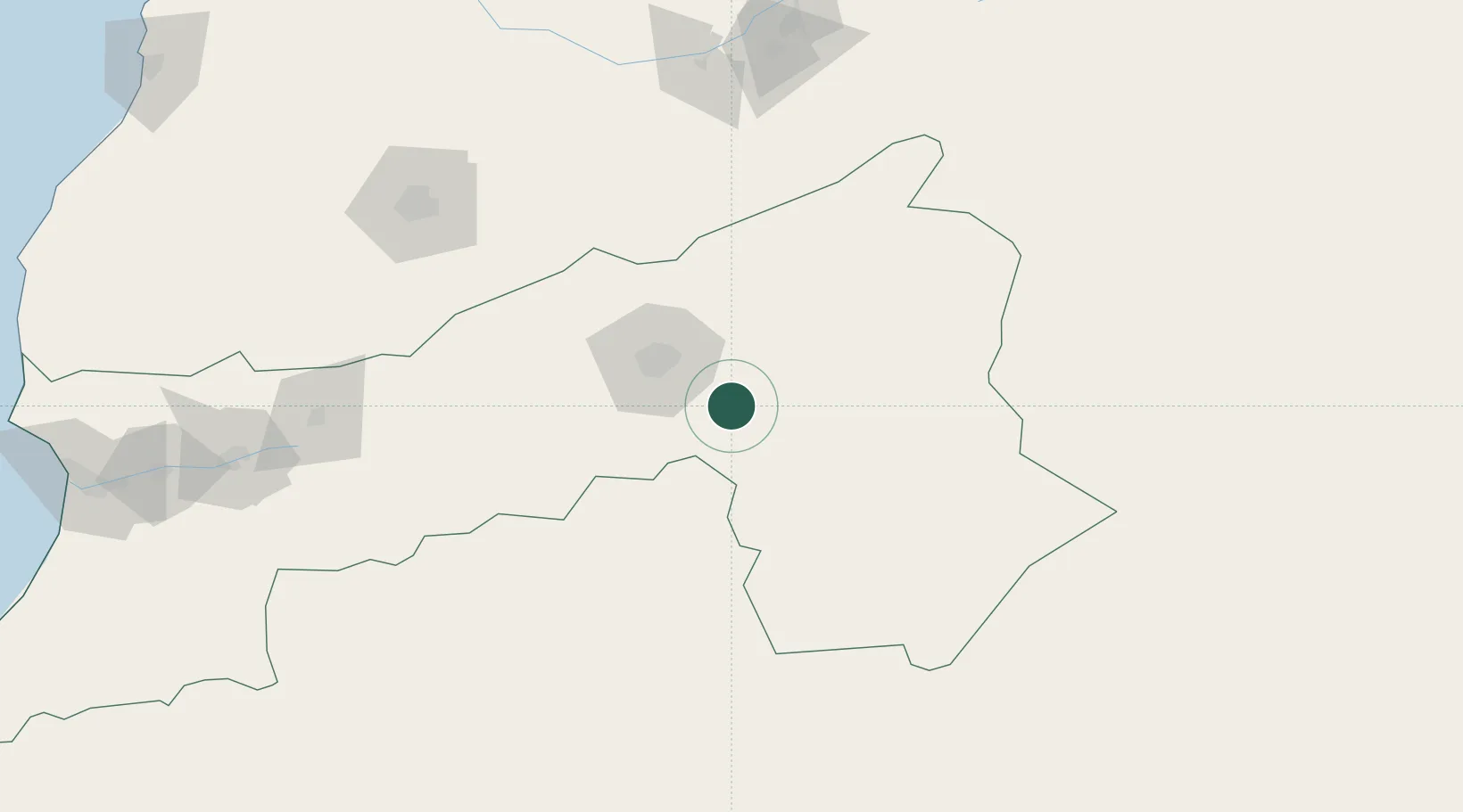
Location
Nearby Logistics Neighbours
Cities
- 1Marrakech172 km
- 2Taroudant224 km
- 3Imintanoute225 km
- 4Sidi Bennour278 km
- 5Aït Melloul284 km
Ports
- 1Agadir297 km
- 2Safi311 km
- 3Essaouira320 km
- 4El Jorf Lasfar331 km
- 5Casablanca336 km
Airports
- 1Ouarzazate International Airport42 km
- 2Zagora Airport83 km
- 3Marrakesh Menara Airport172 km
- 4Beni Mellal Airport189 km
- 5Moulay Ali Cherif Airport246 km
Trade Zones
DatabookThe Record of Consolidated Knowledge
Morocco beyond logistics?