Transport Functions
Port
Hub Profile
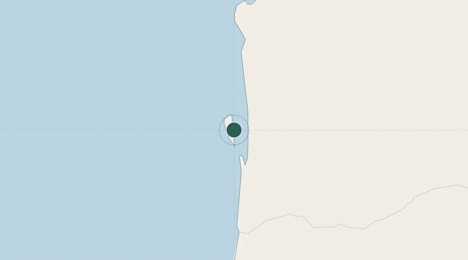
Region
Namibe
Time zone
Africa/Luanda
Elevation
5 m
Location
Nearby Logistics Neighbours
Cities
- 1Porto Saco (Portosalazar)169 km
- 2Baba204 km
- 3River Sao Nicolau269 km
- 4Ruacana293 km
- 5Cuio424 km
Ports
- 1Namibe162 km
- 2Lobito514 km
- 3Sumbe642 km
- 4Porto Amboim688 km
- 5Walvis Bay763 km
Airports
- 1Welwitschia Mirabilis International Airport155 km
- 2Lubango Mukanka International Airport271 km
- 3Xangongo Airport345 km
- 4Ngjiva Pereira Airport423 km
- 5Ondangwa Airport470 km
Trade Zones
DatabookThe Record of Consolidated Knowledge
Angola beyond logistics?