Transport Functions
Port
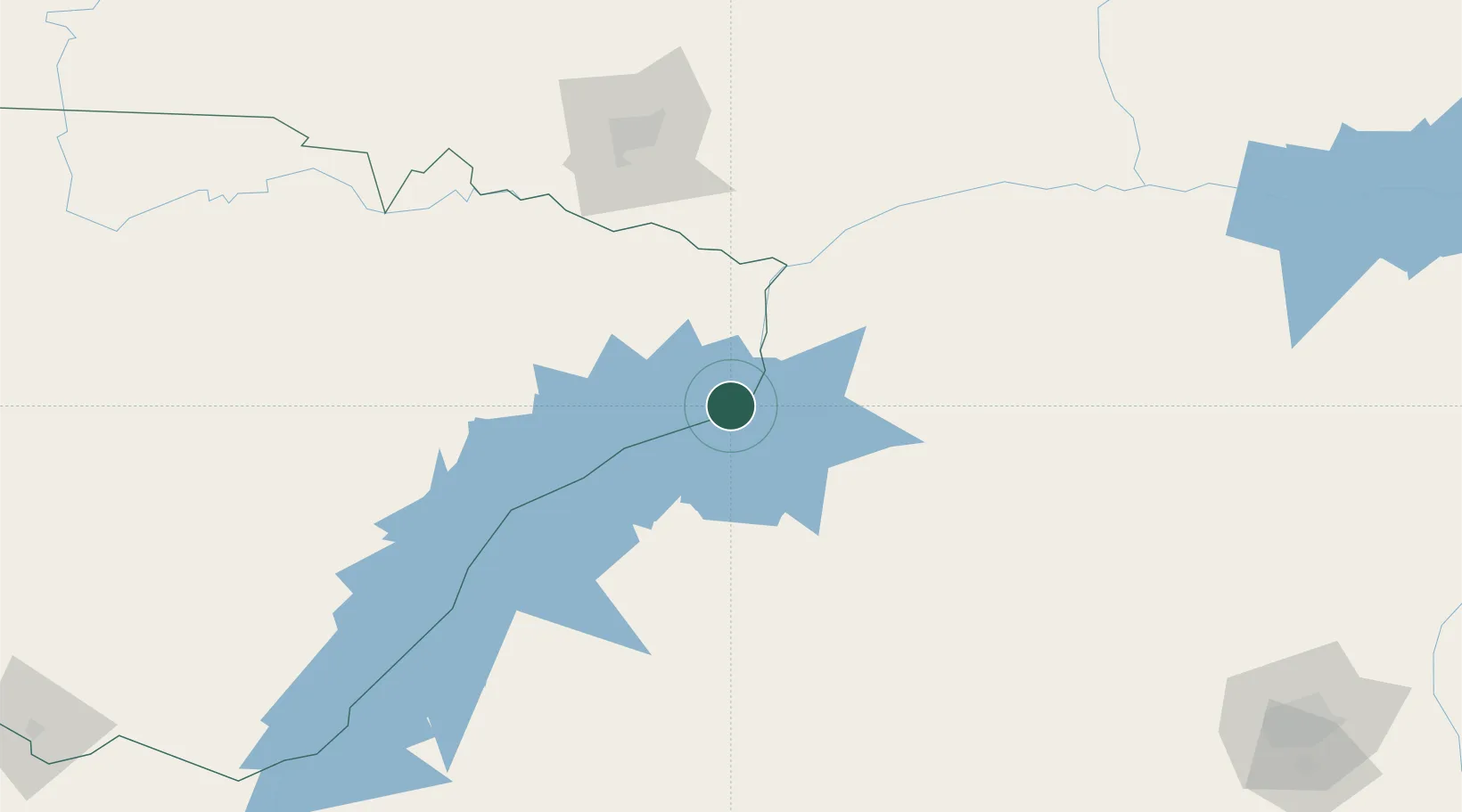
Hub Profile
Place type
Populated place
Region
Southern Province
Population
26,951
Time zone
Africa/Lusaka
Elevation
528 m
Location
Nearby Logistics Neighbours
Cities
- 1Mazabuka126 km
- 2Gokwe189 km
- 3Chegutu234 km
- 4Norton259 km
- 5Thompson Junction292 km
Ports
- 1Beira743 km
- 2Chinde856 km
- 3Quelimane880 km
- 4Porto Belo909 km
- 5Pebane1007 km
Airports
DatabookThe Record of Consolidated Knowledge
Zambia beyond logistics?