Large airport · Zimbabwe

Victoria Falls International AirportFVFA
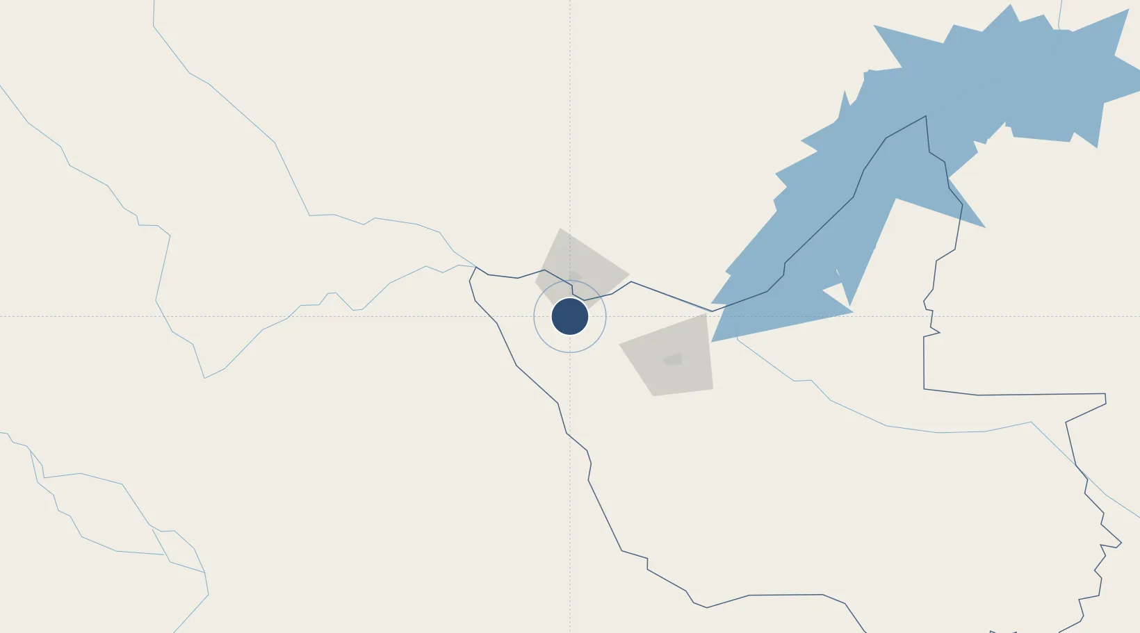
-18.0974°, 25.8369°
13,123 ft
Longest runway
1
Runways
3,490 ft
Elevation

Runway & Layout

Victoria Falls International Airport runway & taxiway layout
Runway & taxiway layout — OpenStreetMap (ODbL) / OurAirports

Radio Frequencies

TWR
121.1 MHz
FALLS TWR
APP
121.1 MHz
FALLS APP
OurAirports

Navaids

FA NDB Victoria Falls 256 kHz
VF NDB Victoria Falls 274 kHz
OurAirports

Runways · 1

RunwayDimensions SurfaceTrue headingLit
12/30 13,123 × 148ft Asphalt 110°
OurAirports

Airport Specifications

IATA code
VFA
OurAirports
ICAO code
FVFA
OurAirports
Airport class
Large airport
OurAirports
Scheduled service
Yes
OurAirports
Runway surface
Asphalt
OurAirports
Served city
Victoria Falls
OurAirports

Location

Location of FVFA
Natural Earth 10m (public domain) · Matabeleland North · FVFA · -18.10, 25.84GoogleOSMYandex

Nearby Logistics Neighbours

Airports
  1. 1Harry Mwanga Nkumbula International Airport31 km
  2. 2Kasane International Airport77 km
  3. 3Hwange National Park Airport138 km
  4. 4Katima Mulilo Airport183 km
  5. 5Sua Pan Airport275 km
Nearest neighbours — logibook spatial index (haversine) over the source coordinates
Cities
  1. 1Thompson Junction64 km
  2. 2Dukwi286 km
  3. 3Mazabuka322 km
  4. 4Gokwe327 km
  5. 5Siavonga352 km
Nearest neighbours — logibook spatial index (haversine) over the source coordinates
Ports
  1. 1Beira965 km
  2. 2Maputo1114 km
  3. 3Chinde1127 km
  4. 4Quelimane1168 km
  5. 5Inhambane1184 km
Nearest neighbours — logibook spatial index (haversine) over the source coordinates
DatabookThe Record of Consolidated Knowledge
Zimbabwe beyond logistics?
Browse databook

All Sources

AirportsOurAirports
Public domain
Portsthe NGA World Port Index
Public domain (US gov)
LocationsUN/LOCODE
UN/LOCODE — free
Trade Zonesthe World Bank SEZ database
CC BY 4.0
Trade ZonesOpen Zone Map
CC BY
InfrastructureOpenStreetMap
ODbL 1.0
← Zimbabwe airports