Large airport · Zambia
Harry Mwanga Nkumbula International AirportFLLI
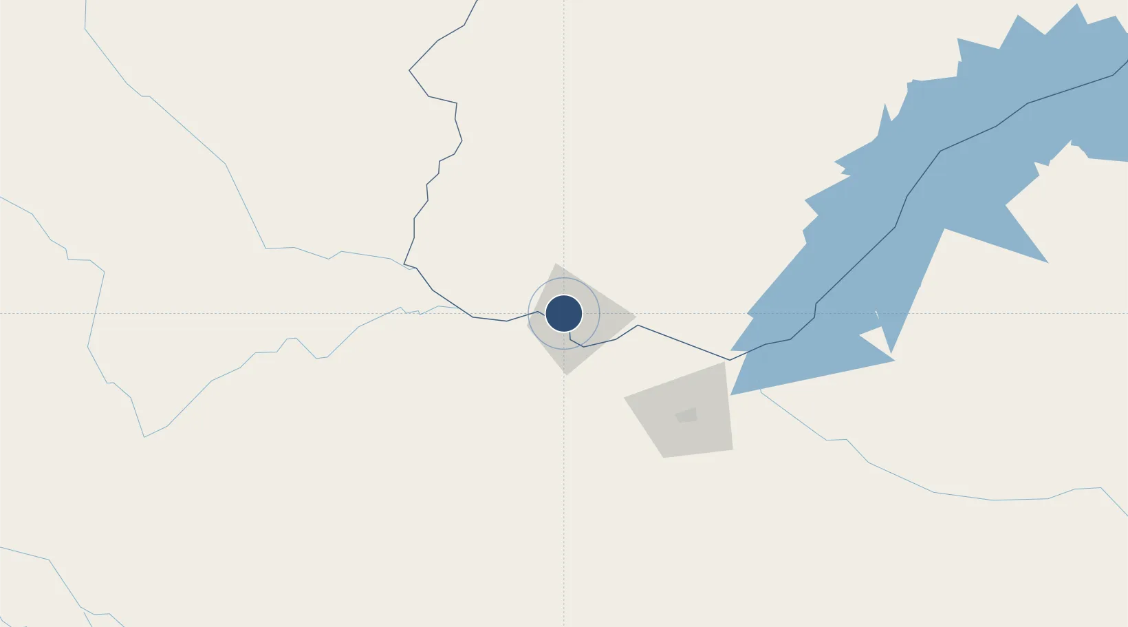
-17.8215°, 25.8196°
9,843 ft
Longest runway
2
Runways
3,302 ft
Elevation
Runway & Layout

Radio Frequencies
TWR
118.1 MHz
APP
124.3 MHz
Runways · 2
| Runway | Dimensions | Surface | True heading | Lit |
|---|---|---|---|---|
| 10/28 | 9,843 × 151ft | Asphalt | 094° | ✓ |
| 15/33 | 4,501 × 98ft | Dirt | 140° | — |
Airport Specifications
IATA code
LVI
ICAO code
FLHN
Airport class
Large airport
Scheduled service
Yes
Runway surface
Asphalt
Served city
Livingstone
Location
Nearby Logistics Neighbours
Airports
- 1Victoria Falls International Airport31 km
- 2Kasane International Airport69 km
- 3Hwange National Park Airport156 km
- 4Katima Mulilo Airport175 km
- 5Sua Pan Airport305 km
Cities
- 1Thompson Junction68 km
- 2Mazabuka300 km
- 3Dukwi316 km
- 4Gokwe332 km
- 5Siavonga340 km
Ports
- 1Beira975 km
- 2Chinde1131 km
- 3Maputo1140 km
- 4Quelimane1171 km
- 5Porto Belo1203 km
DatabookThe Record of Consolidated Knowledge
Zambia beyond logistics?