Transport Functions
Multimodal
Hub Profile
Place type
Populated place
Region
Copperbelt
Time zone
Africa/Lusaka
Elevation
1,215 m
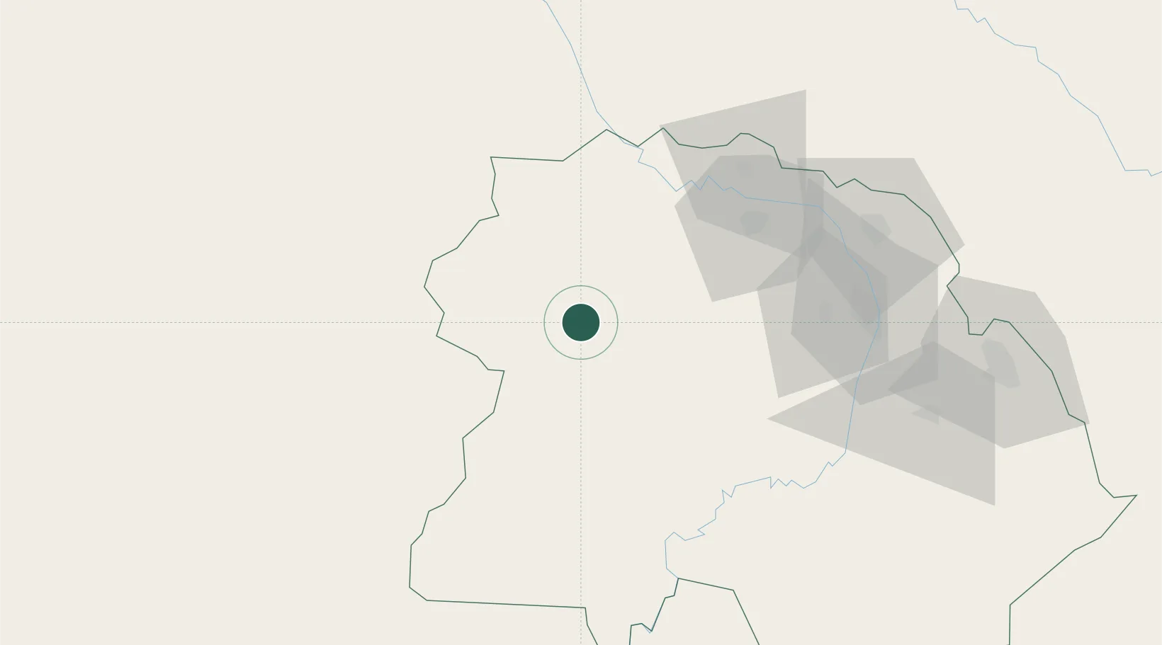
Location
Nearby Logistics Neighbours
Cities
- 1Kalulishi81 km
- 2Kalulushi81 km
- 3Kipushi123 km
- 4Lubumbashi131 km
- 5Sakania132 km
Ports
- 1Beira1115 km
- 2Quelimane1167 km
- 3Chinde1169 km
- 4Porto Belo1186 km
- 5Pebane1261 km
Airports
- 1Kasompe Airport68 km
- 2Southdowns Airport89 km
- 3Simon Mwansa Kapwepwe International Airport129 km
- 4Solwesi Airport129 km
- 5Lubumbashi International Airport142 km
DatabookThe Record of Consolidated Knowledge
Zambia beyond logistics?