Runway & Layout

Airport Specifications
IATA code
UMB
Airport class
Medium airport
Scheduled service
No
Served city
Kalumbila
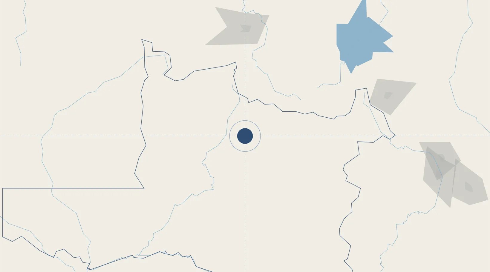
Location
Nearby Logistics Neighbours
Airports
- 1Solwesi Airport101 km
- 2Kolwezi Airport166 km
- 3Lubumbashi International Airport239 km
- 4Kasompe Airport268 km
- 5Southdowns Airport302 km
Cities
- 1Likasi199 km
- 2Kipushi203 km
- 3Mutasa216 km
- 4Lubumbashi231 km
- 5Kalulishi294 km
Ports
- 1Sumbe1269 km
- 2Porto Amboim1285 km
- 3Lobito1290 km
- 4Beira1310 km
- 5Chinde1377 km
DatabookThe Record of Consolidated Knowledge
Zambia beyond logistics?