UN/LOCODE hub · Zambia
ZMKSH

Kalulishi

-12.8333°, 28.0833°
2
Transport functions

Transport Functions

Road
Multimodal
UN/LOCODE

Hub Profile

Region
08
GeoNames

Location

Location of ZMKSH
Natural Earth 10m (public domain) · 08 · ZMKSH · -12.83, 28.08GoogleOSMYandex

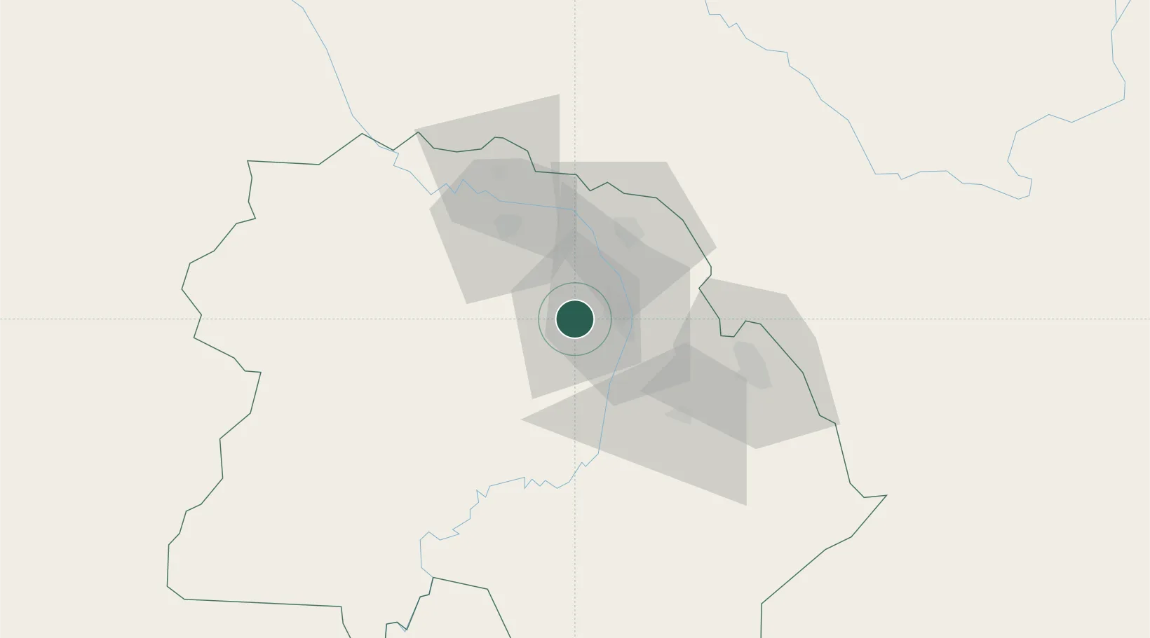
Nearby Logistics Neighbours

Cities
  1. 1Kalulushi0 km
  2. 2Sakania51 km
  3. 3Mutasa81 km
  4. 4Lubumbashi144 km
  5. 5Kipushi152 km
Nearest neighbours — logibook spatial index (haversine) over the source coordinates
Ports
  1. 1Beira1060 km
  2. 2Quelimane1098 km
  3. 3Chinde1103 km
  4. 4Porto Belo1116 km
  5. 5Pebane1188 km
Nearest neighbours — logibook spatial index (haversine) over the source coordinates
Airports
  1. 1Southdowns Airport10 km
  2. 2Kasompe Airport36 km
  3. 3Simon Mwansa Kapwepwe International Airport49 km
  4. 4Peter Zuze Air Force Base66 km
  5. 5Lubumbashi International Airport151 km
Nearest neighbours — logibook spatial index (haversine) over the source coordinates
DatabookThe Record of Consolidated Knowledge
Zambia beyond logistics?
Browse databook

All Sources

LocationsUN/LOCODE
UN/LOCODE — free
Portsthe NGA World Port Index
Public domain (US gov)
AirportsOurAirports
Public domain
Trade Zonesthe World Bank SEZ database
CC BY 4.0
Trade ZonesOpen Zone Map
CC BY
← Zambia locations