Medium airport · South Africa

Malamala AirportFAMD
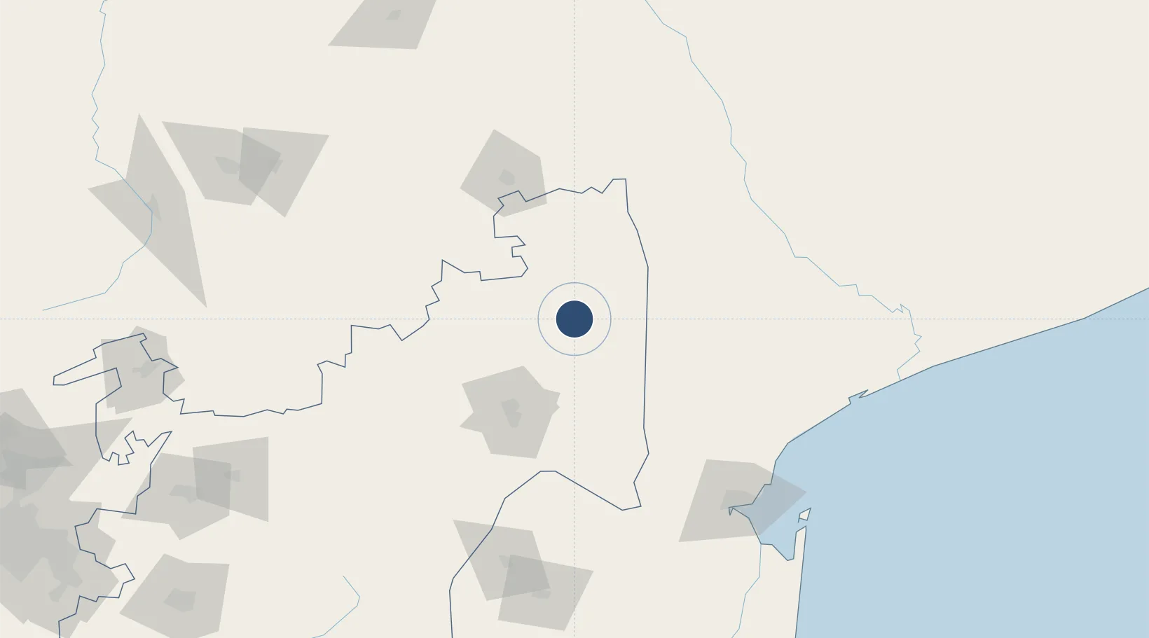
-24.8169°, 31.5441°
4,145 ft
Longest runway
1
Runways
1,124 ft
Elevation

Runway & Layout

Malamala Airport runway & taxiway layout
Runway & taxiway layout — OpenStreetMap (ODbL) / OurAirports

Radio Frequencies

CTAF
124.8 MHz
RDO
OurAirports

Runways · 1

RunwayDimensions SurfaceTrue headingLit
16/34 4,145 × 75ft Asphalt 141°
OurAirports

Airport Specifications

IATA code
AAM
OurAirports
ICAO code
FAMD
OurAirports
Airport class
Medium airport
OurAirports
Scheduled service
No
OurAirports
Runway surface
Asphalt
OurAirports
Served city
Malamala
OurAirports

Location

Location of FAMD
Natural Earth 10m (public domain) · Mpumalanga · FAMD · -24.82, 31.54GoogleOSMYandex

Nearby Logistics Neighbours

Airports
  1. 1Skukuza Airport17 km
  2. 2Eastgate Airport / Air Force Base Hoedspruit71 km
  3. 3Kruger Mpumalanga International Airport77 km
  4. 4Hendrik Van Eck Airport105 km
  5. 5Barberton Airport115 km
Nearest neighbours — logibook spatial index (haversine) over the source coordinates
Cities
  1. 1Belfast21 km
  2. 2Kiepersol59 km
  3. 3Barberton91 km
  4. 4Chokwé149 km
  5. 5Letsitele156 km
Nearest neighbours — logibook spatial index (haversine) over the source coordinates
Ports
  1. 1Maputo162 km
  2. 2Inhambane403 km
  3. 3Richards Bay447 km
  4. 4Durban564 km
  5. 5Beira649 km
Nearest neighbours — logibook spatial index (haversine) over the source coordinates
Trade Zones
  1. 1Nkomazi Special Economic Zone81 km
  2. 2Tubatse Special Economic Zone143 km
  3. 3Beluluane Industrial Free Zone150 km
  4. 4MCM Industrias Texteis Industrial Free Zone153 km
  5. 5Mozal Industrial Free Zone165 km
Nearest neighbours — logibook spatial index (haversine) over the source coordinates
DatabookThe Record of Consolidated Knowledge
South Africa beyond logistics?
Browse databook

All Sources

AirportsOurAirports
Public domain
Portsthe NGA World Port Index
Public domain (US gov)
LocationsUN/LOCODE
UN/LOCODE — free
Trade Zonesthe World Bank SEZ database
CC BY 4.0
Trade ZonesOpen Zone Map
CC BY
InfrastructureOpenStreetMap
ODbL 1.0
← South Africa airports