UN/LOCODE hub · South Africa
ZAZBS
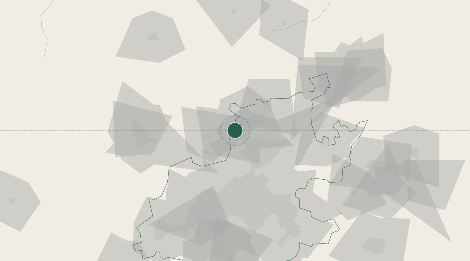
Garankuwa
-25.5833°, 28.0000°
90,945
Population
1
Transport functions
Transport Functions
Multimodal
Hub Profile
Place type
Populated place
Region
North West
Population
90,945
Time zone
Africa/Johannesburg
Elevation
1,246 m
Location
Nearby Logistics Neighbours
Cities
- 1Longmeadow East15 km
- 2Onderstepoort20 km
- 3Pretoria21 km
- 4Hermanstad23 km
- 5Gezina24 km
Ports
- 1Maputo457 km
- 2Richards Bay541 km
- 3Durban564 km
- 4Inhambane770 km
- 5East London828 km
Airports
- 1Wonderboom Airport24 km
- 2Swartkop Air Force Base30 km
- 3Waterkloof Air Force Base35 km
- 4Lanseria International Airport40 km
- 5Grand Central Airport47 km
Trade Zones
DatabookThe Record of Consolidated Knowledge
South Africa beyond logistics?