Transport Functions
Multimodal
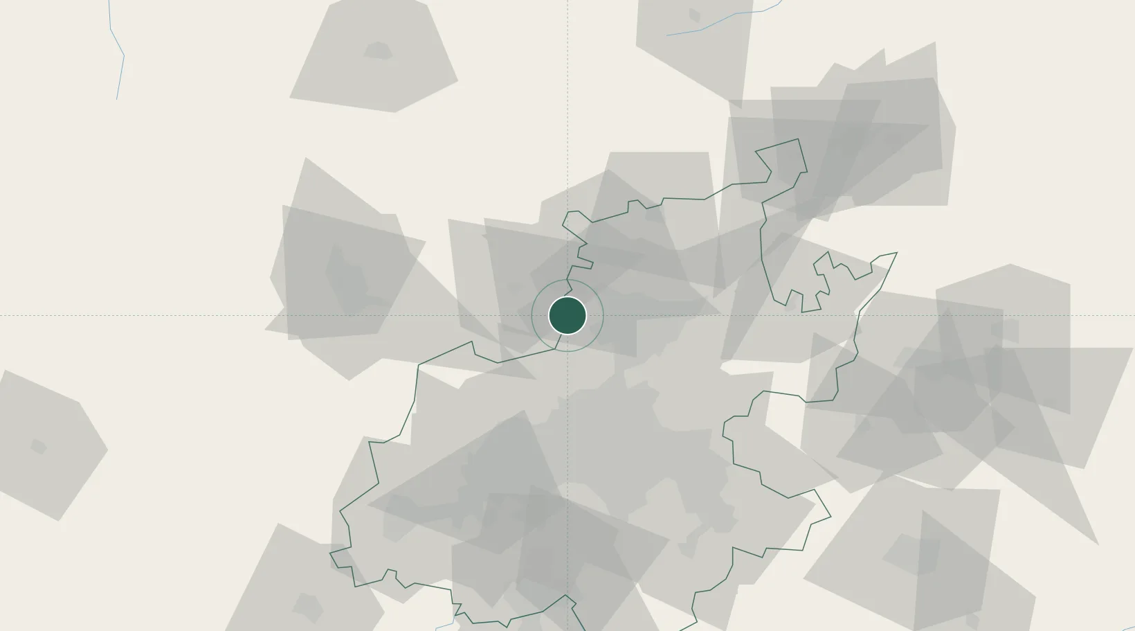
Hub Profile
Place type
Populated place
Region
Gauteng
Time zone
Africa/Johannesburg
Elevation
1,618 m
Location
Nearby Logistics Neighbours
Cities
- 1Garankuwa15 km
- 2Pretoria20 km
- 3Hermanstad22 km
- 4Onderstepoort23 km
- 5Capital Park23 km
Ports
- 1Maputo459 km
- 2Richards Bay534 km
- 3Durban553 km
- 4Inhambane776 km
- 5East London814 km
Airports
- 1Swartkop Air Force Base22 km
- 2Lanseria International Airport25 km
- 3Wonderboom Airport27 km
- 4Waterkloof Air Force Base29 km
- 5Grand Central Airport35 km
Trade Zones
DatabookThe Record of Consolidated Knowledge
South Africa beyond logistics?