UN/LOCODE hub · South Africa
ZAPRY
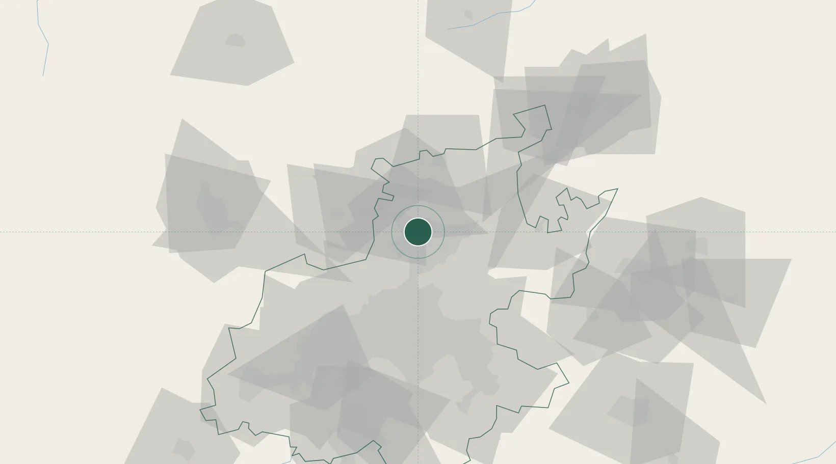
Pretoria
-25.7022°, 28.1658°
2,112,693
Population
5
Transport functions
Transport Functions
Rail
Road
Airport
Multimodal
Postal
Hub Profile
Place type
National capital
Region
Gauteng
Population
2,112,693
Time zone
Africa/Johannesburg
Elevation
1,332 m
Logistics facilities
5
Location
Nearby Logistics Neighbours
Cities
- 1Hermanstad2 km
- 2Gezina3 km
- 3Capital Park5 km
- 4Onderstepoort6 km
- 5Waterkloof10 km
Ports
- 1Maputo439 km
- 2Richards Bay520 km
- 3Durban544 km
- 4Inhambane757 km
- 5East London816 km
Airports
Trade Zones
DatabookThe Record of Consolidated Knowledge
South Africa beyond logistics?