Large airport · South Africa

Kruger Mpumalanga International AirportFAKN
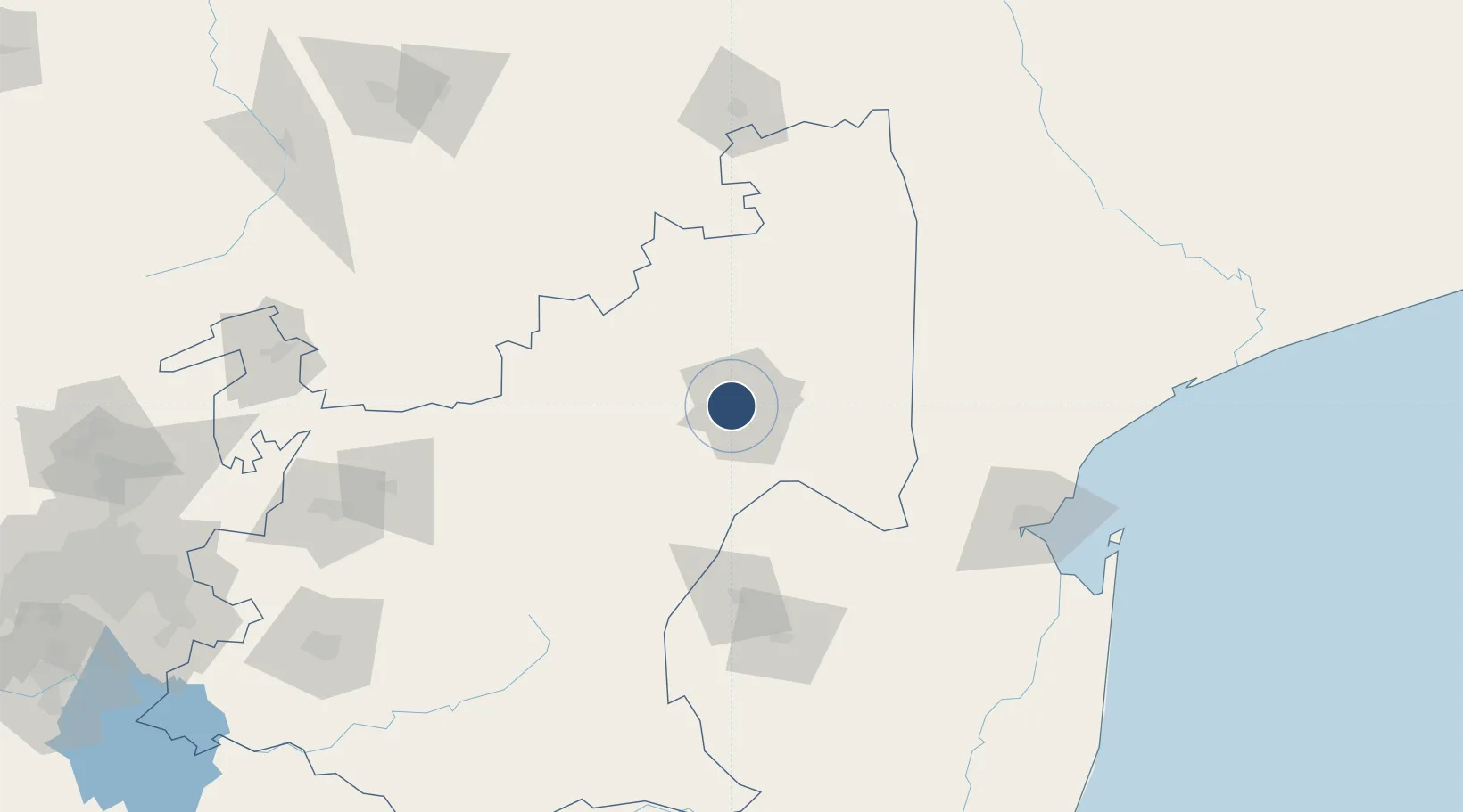
-25.3833°, 31.1053°
10,171 ft
Longest runway
1
Runways
2,829 ft
Elevation

Runway & Layout

Kruger Mpumalanga International Airport runway & taxiway layout
Runway & taxiway layout — OpenStreetMap (ODbL) / OurAirports

Radio Frequencies

TWR
119.2 MHz
ARR
119.2 MHz
APP
OurAirports

Navaids

PK NDB Kruger Mpumalanga 405 kHz
OurAirports

Runways · 1

RunwayDimensions SurfaceTrue headingLit
05/23 10,171 × 148ft Asphalt 034°
OurAirports

Airport Specifications

IATA code
MQP
OurAirports
ICAO code
FAKN
OurAirports
Airport class
Large airport
OurAirports
Scheduled service
Yes
OurAirports
Runway surface
Asphalt
OurAirports
Served city
Mbombela
OurAirports

Location

Location of FAKN
Natural Earth 10m (public domain) · Mpumalanga · FAKN · -25.38, 31.11GoogleOSMYandex

Nearby Logistics Neighbours

Airports
  1. 1Barberton Airport39 km
  2. 2Skukuza Airport68 km
  3. 3Malamala Airport77 km
  4. 4Eastgate Airport / Air Force Base Hoedspruit114 km
  5. 5King Mswati III International Airport125 km
Nearest neighbours — logibook spatial index (haversine) over the source coordinates
Cities
  1. 1Barberton15 km
  2. 2Kiepersol36 km
  3. 3Belfast58 km
  4. 4Motshane104 km
  5. 5Ezulwini113 km
Nearest neighbours — logibook spatial index (haversine) over the source coordinates
Ports
  1. 1Maputo158 km
  2. 2Richards Bay394 km
  3. 3Inhambane464 km
  4. 4Durban499 km
  5. 5Beira726 km
Nearest neighbours — logibook spatial index (haversine) over the source coordinates
Trade Zones
  1. 1Nkomazi Special Economic Zone84 km
  2. 2Tubatse Special Economic Zone118 km
  3. 3Royal Science & Technology IT Park128 km
  4. 4Royal Science & Technology Biotech Park128 km
  5. 5Mpaka Power Station Free Zone136 km
Nearest neighbours — logibook spatial index (haversine) over the source coordinates
DatabookThe Record of Consolidated Knowledge
South Africa beyond logistics?
Browse databook

All Sources

AirportsOurAirports
Public domain
Portsthe NGA World Port Index
Public domain (US gov)
LocationsUN/LOCODE
UN/LOCODE — free
Trade Zonesthe World Bank SEZ database
CC BY 4.0
Trade ZonesOpen Zone Map
CC BY
InfrastructureOpenStreetMap
ODbL 1.0
← South Africa airports