Transport Functions
Port
Road
Hub Profile
Place type
Regional capital
Region
Shiselweni
Population
9,016
Time zone
Africa/Mbabane
Elevation
1,051 m
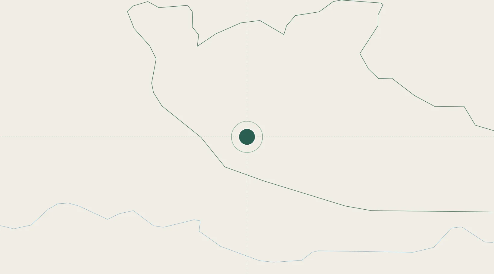
Location
Nearby Logistics Neighbours
Cities
- 1Piet Retief42 km
- 2Sidvokodvo61 km
- 3Malkerns61 km
- 4Siphofaneni68 km
- 5Ezulwini80 km
Ports
- 1Maputo185 km
- 2Richards Bay208 km
- 3Durban306 km
- 4Inhambane552 km
- 5East London730 km
Airports
- 1Matsapha International Airport66 km
- 2King Mswati III International Airport99 km
- 3Mkuze Airport101 km
- 4Prince Mangosuthu Buthelezi Airport136 km
- 5Ermelo Airport139 km
Trade Zones
DatabookThe Record of Consolidated Knowledge
Eswatini beyond logistics?