Transport Functions
Multimodal
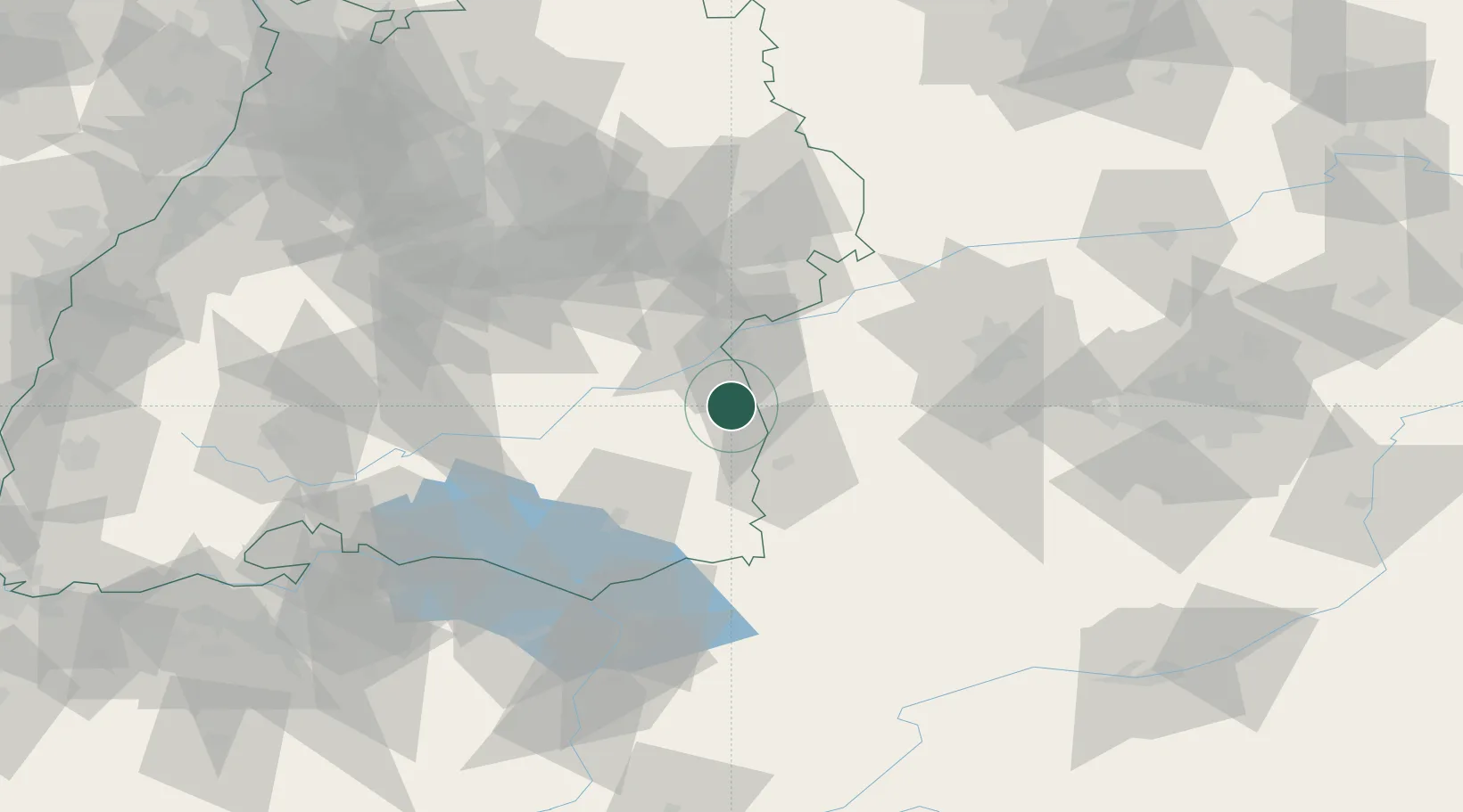
Hub Profile
Place type
Local administrative seat
Region
Baden-Wurttemberg
Population
1,586
Time zone
Europe/Berlin
Elevation
545 m
Location
Nearby Logistics Neighbours
Cities
- 1Balzheim5 km
- 2Kirchberg an der Iller7 km
- 3Burgrieden8 km
- 4Achstetten13 km
- 5Buch13 km
Ports
- 1Porto Di Lido-Venezia358 km
- 2Nogaro360 km
- 3Porto Di Chioggia371 km
- 4Grado372 km
- 5Monfalcone378 km
Airports
Trade Zones
- 1ZFU Neuhof171 km
- 2ZFU Hautepierre178 km
- 3Livigno Free Trade Zone184 km
- 4ZFU Mulhouse205 km
- 5Freeport of Deggendorf225 km
DatabookThe Record of Consolidated Knowledge
Germany beyond logistics?