Transport Functions
Rail
Road
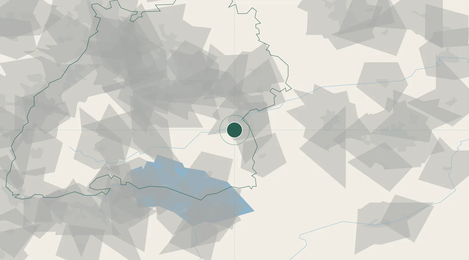
Hub Profile
Place type
Local administrative seat
Region
Baden-Wurttemberg
Population
3,978
Time zone
Europe/Berlin
Elevation
503 m
Location
Nearby Logistics Neighbours
Cities
- 1Dellmensingen4 km
- 2Burgrieden5 km
- 3Staig7 km
- 4Erbach8 km
- 5Stetten11 km
Ports
- 1Porto Di Lido-Venezia371 km
- 2Nogaro373 km
- 3Porto Di Chioggia384 km
- 4Grado385 km
- 5Monfalcone391 km
Airports
- 1Laupheim Air Base5 km
- 2Memmingen Allgau Airport40 km
- 3Mengen-Hohentengen Airfield46 km
- 4Stuttgart Airport69 km
- 5Lechfeld Air Base72 km
Trade Zones
- 1ZFU Neuhof161 km
- 2ZFU Hautepierre167 km
- 3Livigno Free Trade Zone193 km
- 4ZFU Mulhouse199 km
- 5ZFU La Cité Behren-lès-Forbach240 km
DatabookThe Record of Consolidated Knowledge
Germany beyond logistics?