Medium airport · Germany
Lechfeld Air BaseETSL
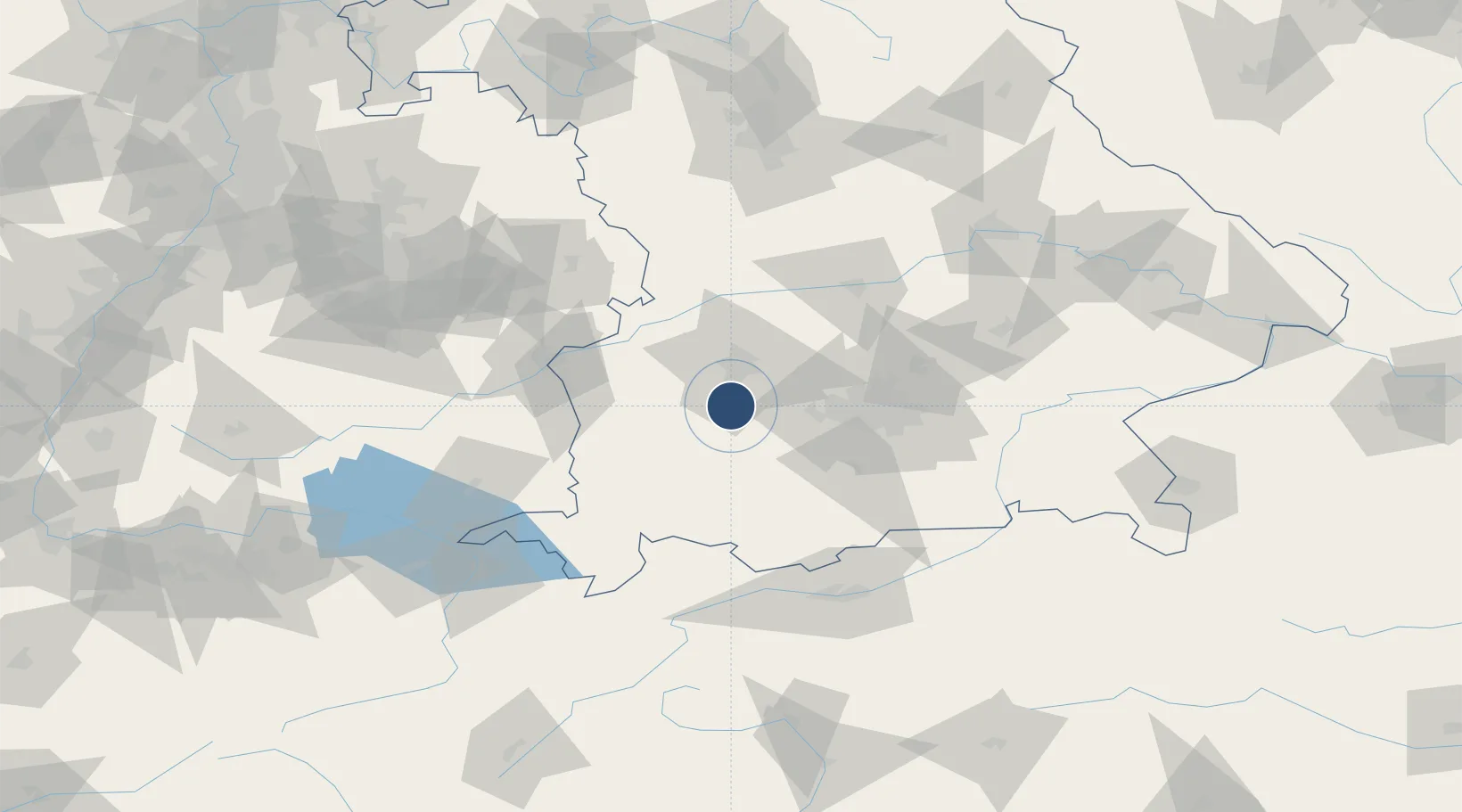
48.1855°, 10.8612°
8,012 ft
Longest runway
1
Runways
1,822 ft
Elevation
Runway & Layout

Radio Frequencies
TWR
122.1 MHz
ACC
129.45 MHz
MUCHEN CON
RDR
34.4 MHz
RADAR
RDR
123.3 MHz
RADAR
Navaids
LCH TACAN Lechfeld 108.80 MHz
Runways · 1
| Runway | Dimensions | Surface | True heading | Lit |
|---|---|---|---|---|
| 03/21 | 8,012 × 98ft | Concrete | 029° | ✓ |
Airport Specifications
ICAO code
ETSL
Airport class
Medium airport
Scheduled service
No
Runway surface
Concrete
Served city
Graben
Location
Nearby Logistics Neighbours
Airports
- 1Augsburg Airport27 km
- 2Oberpfaffenhofen Airport33 km
- 3Altstetten Ultralight Field34 km
- 4Memmingen Allgau Airport51 km
- 5Neuburg Air Base64 km
Cities
- 1Graben4 km
- 2Grossaitingen8 km
- 3Wehringen9 km
- 4Igling14 km
- 5Landsberg am Lech15 km
Ports
- 1Nogaro322 km
- 2Porto Di Lido-Venezia330 km
- 3Grado333 km
- 4Monfalcone336 km
- 5Porto Di Chioggia346 km
Trade Zones
- 1Freeport of Deggendorf168 km
- 2Livigno Free Trade Zone193 km
- 3ZFU Neuhof232 km
- 4ZFU Hautepierre238 km
- 5ZFU Mulhouse267 km
DatabookThe Record of Consolidated Knowledge
Germany beyond logistics?