Transport Functions
Rail
Road
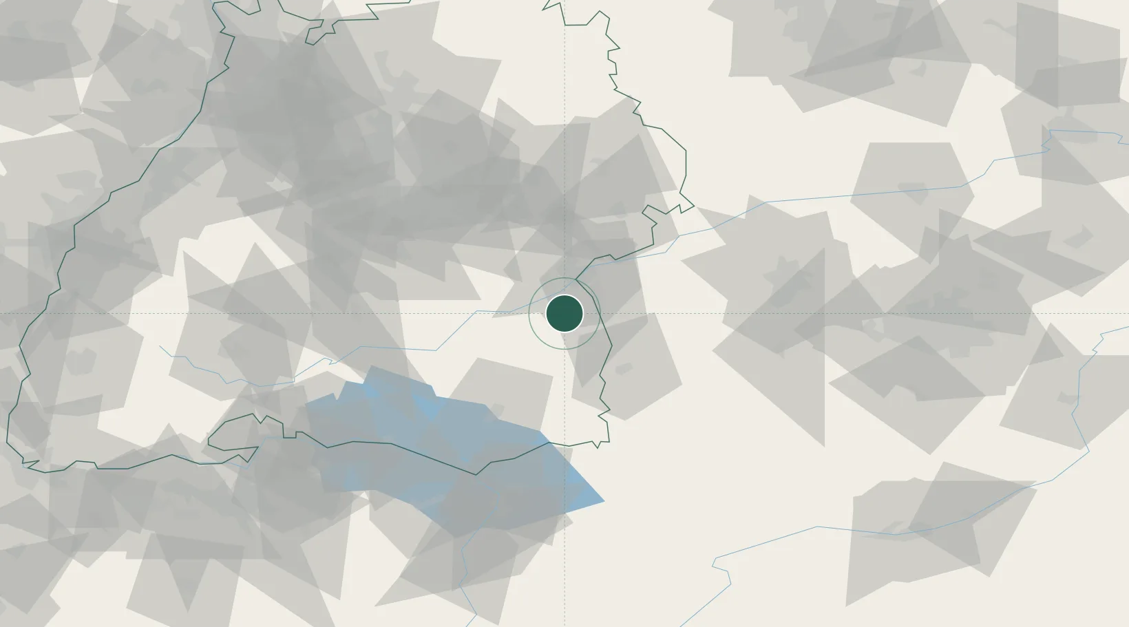
Hub Profile
Place type
Local administrative seat
Region
Baden-Wurttemberg
Population
3,573
Time zone
Europe/Berlin
Elevation
503 m
Location
Nearby Logistics Neighbours
Cities
- 1Achstetten5 km
- 2Dellmensingen8 km
- 3Staig8 km
- 4Wain8 km
- 5Schemmerberg10 km
Ports
- 1Porto Di Lido-Venezia366 km
- 2Nogaro369 km
- 3Porto Di Chioggia379 km
- 4Grado380 km
- 5Monfalcone387 km
Airports
Trade Zones
- 1ZFU Neuhof164 km
- 2ZFU Hautepierre170 km
- 3Livigno Free Trade Zone190 km
- 4ZFU Mulhouse201 km
- 5ZFU Belfort242 km
DatabookThe Record of Consolidated Knowledge
Germany beyond logistics?