Transport Functions
Road
Multimodal
Hub Profile
Place type
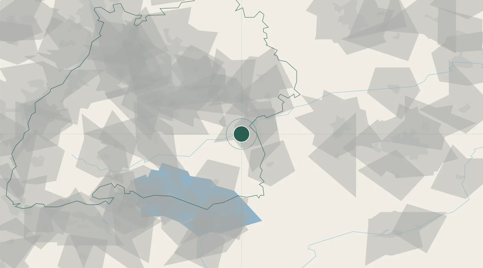
Populated place
Region
Baden-Wurttemberg
Time zone
Europe/Berlin
Elevation
487 m
Location
Nearby Logistics Neighbours
Cities
- 1Achstetten4 km
- 2Erbach4 km
- 3Staig6 km
- 4Burgrieden8 km
- 5Stetten8 km
Ports
- 1Porto Di Lido-Venezia374 km
- 2Nogaro376 km
- 3Porto Di Chioggia387 km
- 4Grado388 km
- 5Monfalcone393 km
Airports
- 1Laupheim Air Base9 km
- 2Memmingen Allgau Airport43 km
- 3Mengen-Hohentengen Airfield48 km
- 4Stuttgart Airport66 km
- 5Lechfeld Air Base72 km
Trade Zones
- 1ZFU Neuhof160 km
- 2ZFU Hautepierre166 km
- 3Livigno Free Trade Zone197 km
- 4ZFU Mulhouse200 km
- 5ZFU La Cité Behren-lès-Forbach238 km
DatabookThe Record of Consolidated Knowledge
Germany beyond logistics?