Transport Functions
Port
Multimodal
Hub Profile
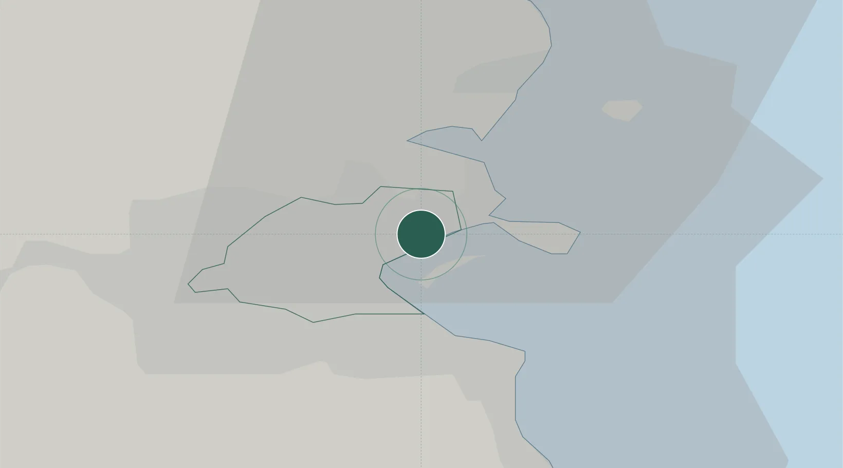
Place type
Urban district
Region
Leinster
Population
2,632
Time zone
Europe/Dublin
Elevation
36 m
Location
Nearby Logistics Neighbours
Cities
- 1Dublin4 km
- 2ESB Poolbeg-Dublin6 km
- 3Dublin-Marine Terminal7 km
- 4Dublin-Ferryport Terminal 17 km
- 5Dublin-Ferryport Terminal 28 km
Ports
- 1Dublin6 km
- 2Drogheda38 km
- 3Greenore72 km
- 4Kilkeel75 km
- 5Warren Point80 km
Airports
- 1Dublin Airport7 km
- 2Casement Air Base20 km
- 3Weston Airport21 km
- 4Anglesey Airport111 km
- 5Isle of Man Airport129 km
Trade Zones
DatabookThe Record of Consolidated Knowledge
Ireland beyond logistics?