UN/LOCODE hub · United Kingdom
GBWHL
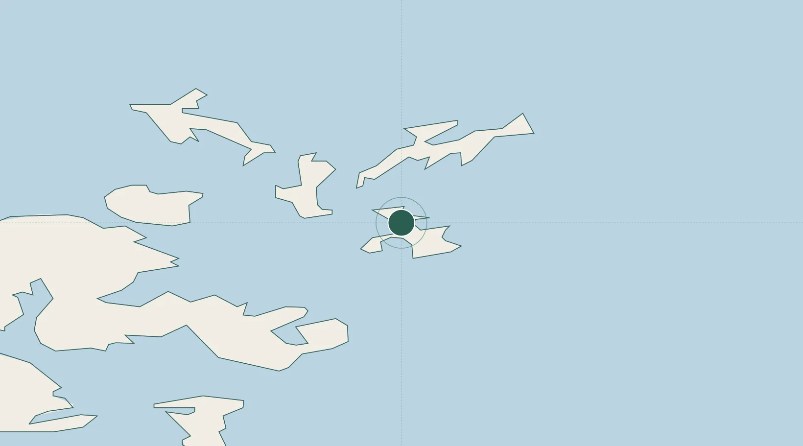
Whitehall Village, Stronsay
59.1333°, -2.6167°
2
Transport functions
Transport Functions
Port
Road
Hub Profile
Region
ORK
Location
Nearby Logistics Neighbours
Cities
- 1Lamb Head7 km
- 2Backaland, Eday8 km
- 3Loth, Sanday9 km
- 4Kettletoft, Sanday11 km
- 5Shapinsay16 km
Ports
- 1Kettletoft11 km
- 2Kirkwall26 km
- 3Scapa Bay29 km
- 4Pierowall30 km
- 5St Margarets Hope38 km
Airports
- 1Stronsay Airport3 km
- 2Eday Airport11 km
- 3Sanday Airport13 km
- 4Kirkwall Airport26 km
- 5North Ronaldsay Airport28 km
Trade Zones
DatabookThe Record of Consolidated Knowledge
United Kingdom beyond logistics?