Transport Functions
Port
Multimodal
Hub Profile
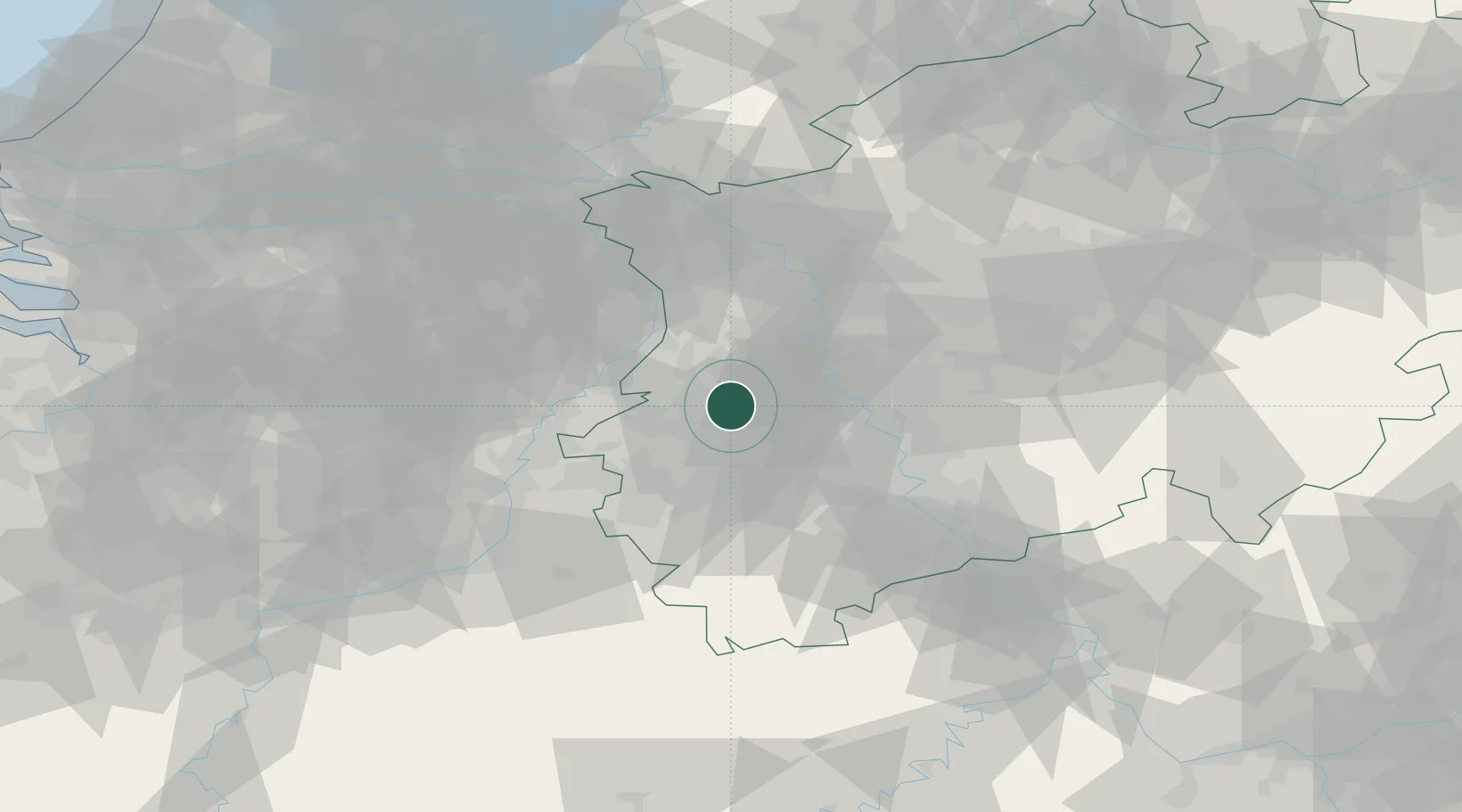
Place type
Populated place
Region
North Rhine-Westphalia
Time zone
Europe/Berlin
Elevation
76 m
Location
Nearby Logistics Neighbours
Cities
- 1Gudderath2 km
- 2Jüchen7 km
- 3Mönchengladbach8 km
- 4Dülken14 km
- 5Titz15 km
Airports
- 1Mönchengladbach Airport12 km
- 2Düsseldorf Airport30 km
- 3Geilenkirchen Air Base32 km
- 4Nörvenich Air Base38 km
- 5Maastricht Aachen Airport52 km
Trade Zones
- 1Rheinische Revier SWZ25 km
- 2Freeport of Duisburg37 km
- 3Luxembourg Free Port167 km
- 4ZFU Ronde Couture196 km
- 5ZFU Woippy-Metz221 km
DatabookThe Record of Consolidated Knowledge
Germany beyond logistics?