Transport Functions
Multimodal
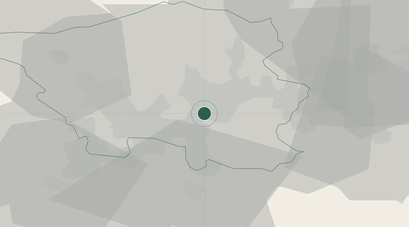
Hub Profile
Region
SL
Location
Nearby Logistics Neighbours
Cities
- 1Sankt Ingbert4 km
- 2Wemmetsweiler9 km
- 3Riegelsberg10 km
- 4Schiffweiler11 km
- 5Neunkirchen11 km
Airports
Trade Zones
- 1ZFU La Cité Behren-lès-Forbach16 km
- 2ZFU Woippy-Metz68 km
- 3ZFU Metz69 km
- 4Luxembourg Free Port73 km
- 5ZFU Hautepierre89 km
DatabookThe Record of Consolidated Knowledge
Germany beyond logistics?