UN/LOCODE hub · Germany
DEDUS

Düsseldorf

51.2178°, 6.7352°
5
Transport functions

Transport Functions

Port
Rail
Road
Airport
Postal
UN/LOCODE

Hub Profile

Region
NW
GeoNames
Logistics facilities
1
UN/LOCODE

Location

Location of DEDUS
Natural Earth 10m (public domain) · NW · DEDUS · 51.22, 6.74GoogleOSMYandex

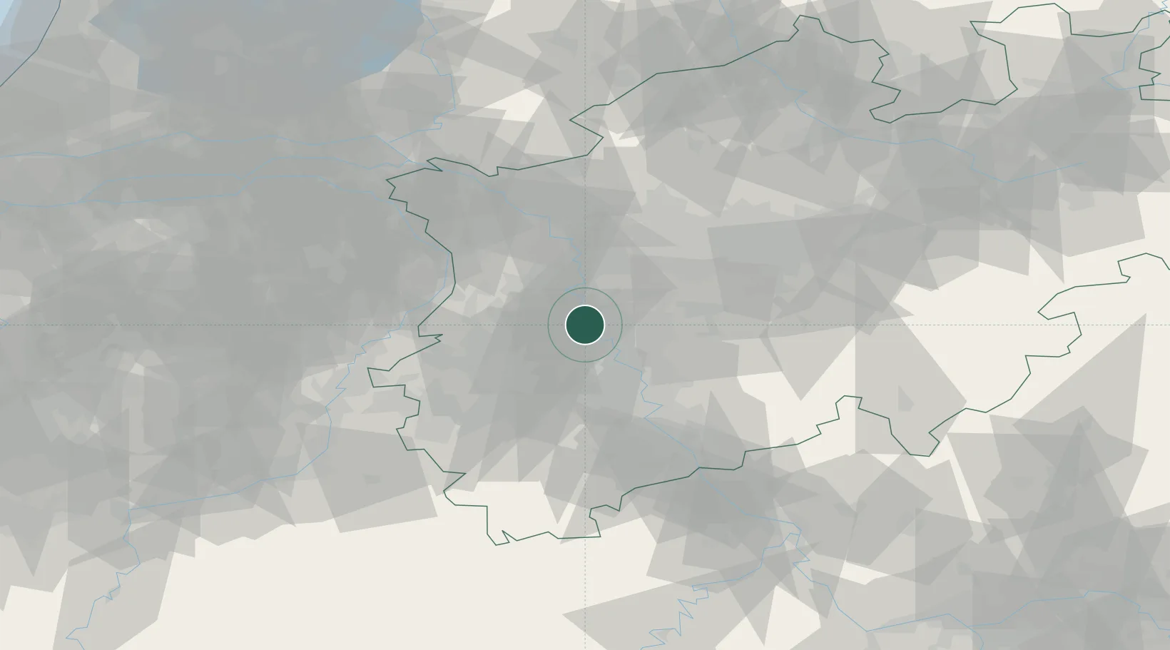
Nearby Logistics Neighbours

Cities
  1. 1Neuss2 km
  2. 2Grafenberg/Düsseldorf7 km
  3. 3Dormagen10 km
  4. 4Reisholz10 km
  5. 5Erkrath10 km
Nearest neighbours — logibook spatial index (haversine) over the source coordinates
Ports
  1. 1Dordrecht159 km
  2. 2Antwerpen163 km
  3. 3Bruxelles171 km
  4. 4Rotterdam173 km
  5. 5Schiedam178 km
Nearest neighbours — logibook spatial index (haversine) over the source coordinates
Airports
  1. 1Düsseldorf Airport8 km
  2. 2Mönchengladbach Airport16 km
  3. 3Nörvenich Air Base43 km
  4. 4Cologne Bonn Airport48 km
  5. 5Geilenkirchen Air Base56 km
Nearest neighbours — logibook spatial index (haversine) over the source coordinates
Trade Zones
  1. 1Freeport of Duisburg27 km
  2. 2Rheinische Revier SWZ42 km
  3. 3Luxembourg Free Port179 km
  4. 4ZFU Ronde Couture217 km
  5. 5ZFU La Cité Behren-lès-Forbach228 km
Nearest neighbours — logibook spatial index (haversine) over the source coordinates
DatabookThe Record of Consolidated Knowledge
Germany beyond logistics?
Browse databook

All Sources

LocationsUN/LOCODE
UN/LOCODE — free
Portsthe NGA World Port Index
Public domain (US gov)
AirportsOurAirports
Public domain
Trade Zonesthe World Bank SEZ database
CC BY 4.0
Trade ZonesOpen Zone Map
CC BY
← Germany locations