Transport Functions
Multimodal
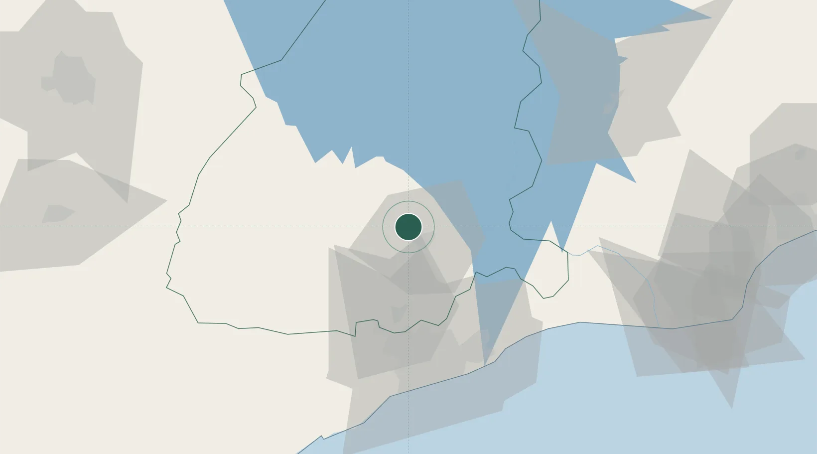
Hub Profile
Place type
Populated place
Region
Eastern
Time zone
Africa/Accra
Elevation
203 m
Location
Nearby Logistics Neighbours
Airports
- 1Kotoka International Airport62 km
- 2Ho Airport104 km
- 3Prempeh I International Airport156 km
- 4Lomé–Tokoin International Airport172 km
- 5Takoradi Airport215 km
Trade Zones
- 1Tema Export Processing Zone63 km
- 2Cape Coast ICT Park63 km
- 3Dawa Industrial Zone73 km
- 4Ashanti Technology Park136 km
- 5Lomé-Togo Free Zone167 km
DatabookThe Record of Consolidated Knowledge
Ghana beyond logistics?