Transport Functions
Rail
Road
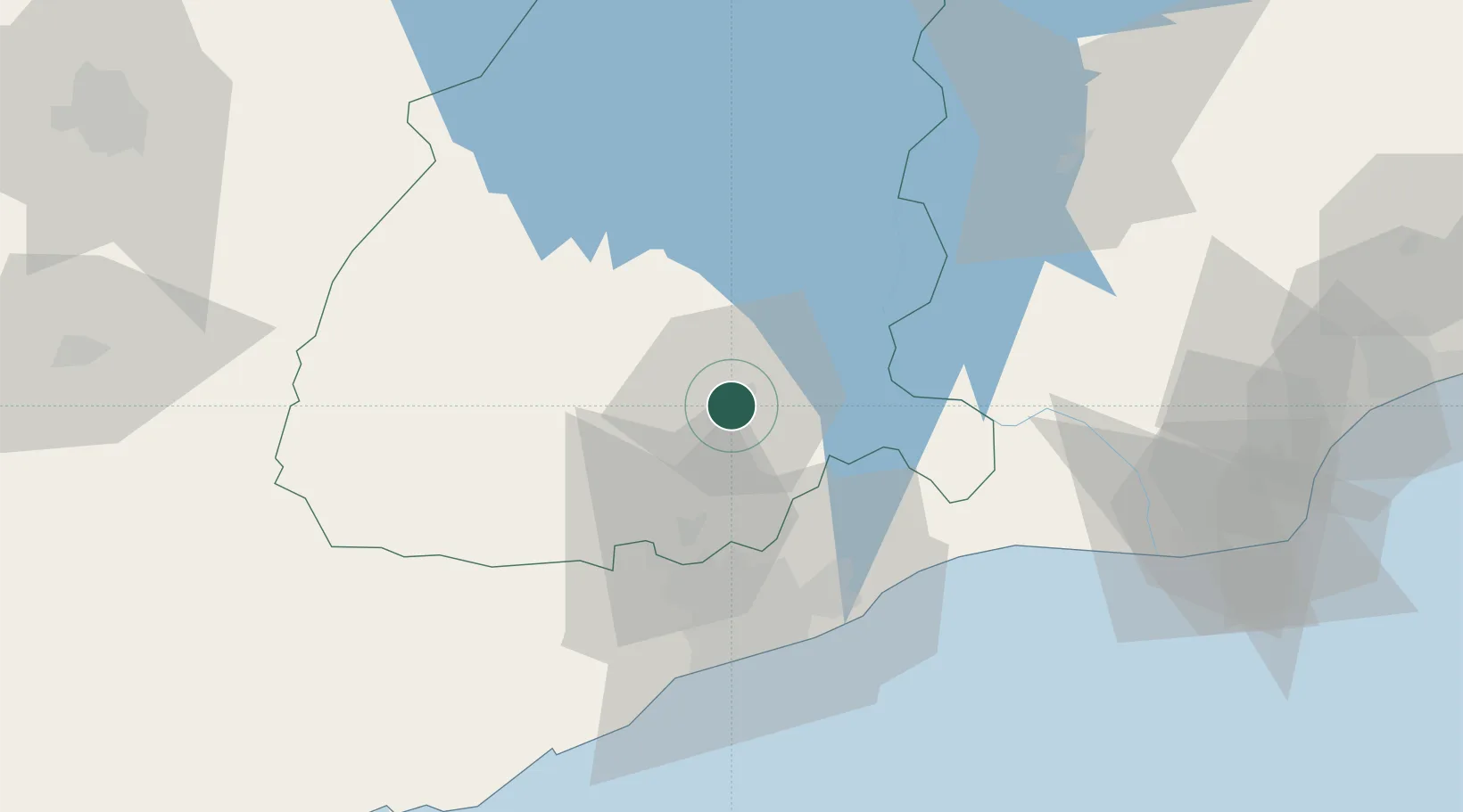
Hub Profile
Place type
Regional capital
Region
Eastern
Population
151,255
Time zone
Africa/Accra
Elevation
172 m
Location
Nearby Logistics Neighbours
Airports
- 1Kotoka International Airport54 km
- 2Ho Airport103 km
- 3Prempeh I International Airport164 km
- 4Lomé–Tokoin International Airport167 km
- 5Takoradi Airport214 km
Trade Zones
- 1Tema Export Processing Zone53 km
- 2Cape Coast ICT Park54 km
- 3Dawa Industrial Zone65 km
- 4Ashanti Technology Park145 km
- 5Lomé-Togo Free Zone162 km
DatabookThe Record of Consolidated Knowledge
Ghana beyond logistics?