Medium airport · Algeria
Touat-Cheikh Sidi Mohamed Belkebir AirportDAUA
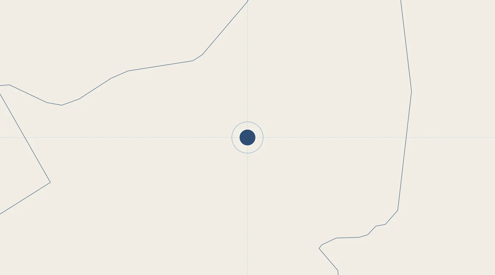
27.8376°, -0.1864°
9,843 ft
Longest runway
1
Runways
919 ft
Elevation
Runway & Layout

Radio Frequencies
TWR
119.7 MHz
ADRAR TWR
RDO
889.4 MHz
ADRAR RDO
Navaids
ADR VOR-DME Adrar 112.60 MHz
ADR NDB Adrar 340 kHz
Runways · 1
| Runway | Dimensions | Surface | True heading | Lit |
|---|---|---|---|---|
| 04/22 | 9,843 × 148ft | Asphalt | 040° | ✓ |
Airport Specifications
IATA code
AZR
ICAO code
DAUA
Airport class
Medium airport
Scheduled service
Yes
Runway surface
Asphalt
Served city
Adrar
Location
Nearby Logistics Neighbours
Airports
- 1Timimoun Airport162 km
- 2In Salah Airport274 km
- 3El Golea Airport425 km
- 4Béchar Boudghene Ben Ali Lotfi Airport469 km
- 5Bouarfa Airport548 km
Cities
- 1Ghardaïa636 km
- 2Rhourde Nouss684 km
- 3Ourika695 km
- 4Selouane740 km
- 5Sidi Yahia778 km
Ports
- 1Ghazaouet823 km
- 2Beni Saf838 km
- 3Port Nador868 km
- 4Oran875 km
- 5Arzew891 km
Trade Zones
- 1Berkane Agro-Pole817 km
- 2Fès Shore Industrial Park823 km
- 3Meknès Agropolis835 km
- 4Melilla Autonomous Community869 km
- 5Nador WestMed Free Zone870 km
DatabookThe Record of Consolidated Knowledge
Algeria beyond logistics?